What is recorded here
Dromin holds a broken ring where human hands shaped earth into a circle before memory faded. The scarped edge still marks the boundary, though ploughs and drainage cut through the eastern side. A person may have stood inside that circle, watched the sky turn, and left no name behind. The field changed, the ring thinned, and the fort became a fairy story because people forgot the first owner.
In undulating pasture, on a slight S-facing slope. Circular area (46.6m N-S) defined by scarped edge (H 0.75m; Wth 6m). However, scarp and part of interior have been removed NE->SE (interior now 35.2m E-W). A small N-S running drainage channel cuts across scarp at SE. An E-W running field boundary runs along base of scarp SSE-SSW. An ESB pole stands 1m back form top of scarp at WNW. Interior level, dry and clear of overgrowth. There is a dump of field-clearance material immediately outside site at SE.
Compiled by: Denis Power
Date of upload: 26 August 2011
The monument record does not grant public access. Check the route and ask the landowner before entering private land.
- What survives
- Recorded monument
Places near here
 EnclosureEnclosure, large enclosure · 992 yd
 bridgebridge · 1034 yd
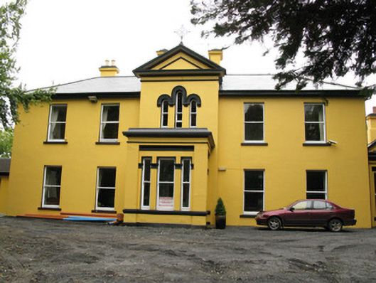 Beechwood Housepresbytery/parochial/curate's house · 1089 yd
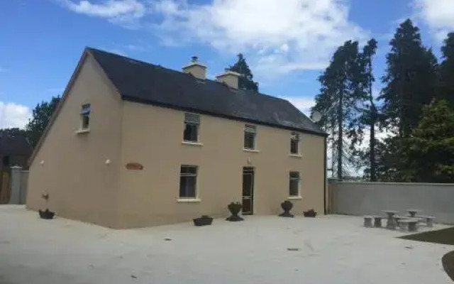 Enclosure in DrominEnclosure · 1319 yd
 Templars Castle (in ruins)Castle, Anglo-Norman masonry castle · 1684 yd
 Castle MahonCastle · 2.1 mi
 St. Luke's WellSpring · 4.2 mi
 European ashEuropean ash · 4.3 mi
 Limerick GreenwayWalking route · 4.4 mi
 St. Kieran's WellSpring · 4.6 mi
 Sugar HillMountain / peak · 5.5 mi
 Ballagh MountainMountain / peak · 6.0 mi