What is recorded here
No visible fort remains at Dromaneen, but the land still holds its shape: a shallow scar to the north and east, a faint circular shadow in aerial images, and a filled quarry that once cut beside it. People called it a fairy fort because the true purpose had become unclear, not because the site was fake. A circular defence or dwelling stood there large enough to hold a small community, and ordinary work later removed most of it. The earth kept the boundary long after the stones and soil were taken elsewhere.
In pasture, atop hillock. Depicted as hachured circular enclosure (diam. c. 34m), at E side of quarry, on 1842 OS 6-inch map. Levelled; slight scarp remains to N and E. Quarry filled in, slight depression remains. Fosse visible as cropmark in aerial photograph (GSIAP, W378). Recorded by Bowman (1934, 588) as levelled single-ramparted fort (diam. c. 41yd) on D. Ryan's land.
The above description is derived from the published 'Archaeological Inventory of County Cork. Volume 4: North Cork' (Dublin: Stationery Office, 2000). In certain instances the entries have been revised and updated in the light of recent research.
Date of upload/revision: 14 January 2009
The monument record does not grant public access. Check the route and ask the landowner before entering private land.
- What survives
- Recorded monument
Places near here
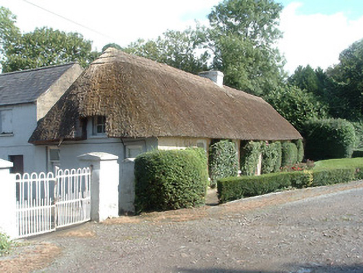 Keal Cottagehouse · 363 yd
 Church in SmithfieldChurch · 691 yd
 Fulacht fia in SmithfieldFulacht fia · 988 yd
 Enclosure in GlantaneEnclosure · 1050 yd
 Dromaneen CastleHeritage attraction · 1.1 mi
 Gurteenkreen Castle (Site of)Castle, unclassified · 3.4 mi
 In loving memory of Elvis O'DonoghueMemorial · 3.7 mi
 CastleBawn · 3.8 mi
 Mount HillaryMountain / peak · 4.3 mi
 Mount Hillary - Knightfield LoopWalking route · 4.8 mi
 Mount Hillary - Mount Hillary LoopWalking route · 5.0 mi
 Graveyard in Ballygiblin (duhallow By.)Graveyard · 5.0 mi