What is recorded here
Fairy fort in Dring, County Longford: a 52.5-metre earthen ring on a low pasture rise, half banked, half scarped, with no entrance left to name. It is the kind of place people once pointed at and stopped speaking, as if the soil had swallowed the story.
On a low rise in pasture. A raised subcircular area (52.5m E-W; 47m N-S) enclosed from NNE-NE-ENE and from WSW-W-WNW by a poorly preserved bank of earth and stone (Wth 4.3m; H 0.4m) and elsewhere defined by a scarp (H 1-1.35m). There is no trace of a fosse and the original entrance is not recognisable.
Compiled by: Patrick F. O'Donovan
Date of upload: 26 August 2011
This remains an important historical record, but the official description says the monument is no longer visible or has been destroyed. The monument record does not grant public access. Check the route and ask the landowner before entering private land.
- What survives
- No visible remains or recorded as destroyed
Places near here
 Dunclá or Black Pigs RaceArchaeological place · 976 yd
 Lissakerry FortFairy fort / earthen ringfort · 1088 yd
 Derrycassan WoodsWood · 1567 yd
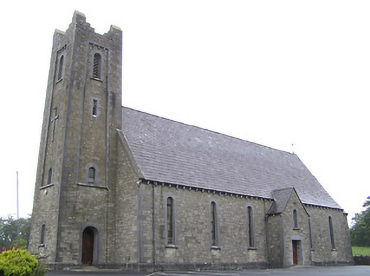 Saint Columba's Catholic Churchchurch/chapel · 1.0 mi
 Church in Clogh (granard By.)Church · 1.1 mi
 InchmoreIslet · 1.7 mi
 ToomeMountain / peak · 2.3 mi
 CartronfreeMountain / peak · 2.7 mi
 BawnBawn · 3.0 mi
 Cornamucklagh WoodlandWood · 3.0 mi
 1798 Monumentmonument · 3.1 mi
 Bakers FortCastle, ringwork · 3.1 mi