What is recorded here
Standeham stands half-forgotten in Dranagh, a granite marker leaning into the southwest wind. It may have marked a boundary, a burial, or a meeting place before written records arrived. Its sharp tilt suggests age and patience rather than human hurry.
Granite stone, irregularly shaped (H 1.6m c. 1.5m x c. 0.5m at base). Inclining sharply to SW. Aligned NW-SE. ). Recorded by Ó Murchú (2011, 95) as part of a Master's thesis (Survey number: SS02).
The above description is derived from the published 'Archaeological Inventory of County Carlow' (Dublin: Stationery Office, 1993). In certain instances the entries have been revised and updated in the light of recent research.
Date of revision: 14 November 2013
Revised by: Claire Breen
Likely dating to the Bronze Age, this standing stone may have functioned as a territorial marker or ceremonial monument. No specific folklore or detailed use is recorded for the site.
The monument record does not grant public access. Check the route and ask the landowner before entering private land.
- What survives
- Recorded monument
Places near here
 Enclosure in DranaghEnclosure · 373 yd
 Enclosure in BallycrinniganEnclosure · 1175 yd
 CarrigvahanaghMountain / peak · 1557 yd
 Saint Moling's Catholic Churchchurch/chapel · 1.5 mi
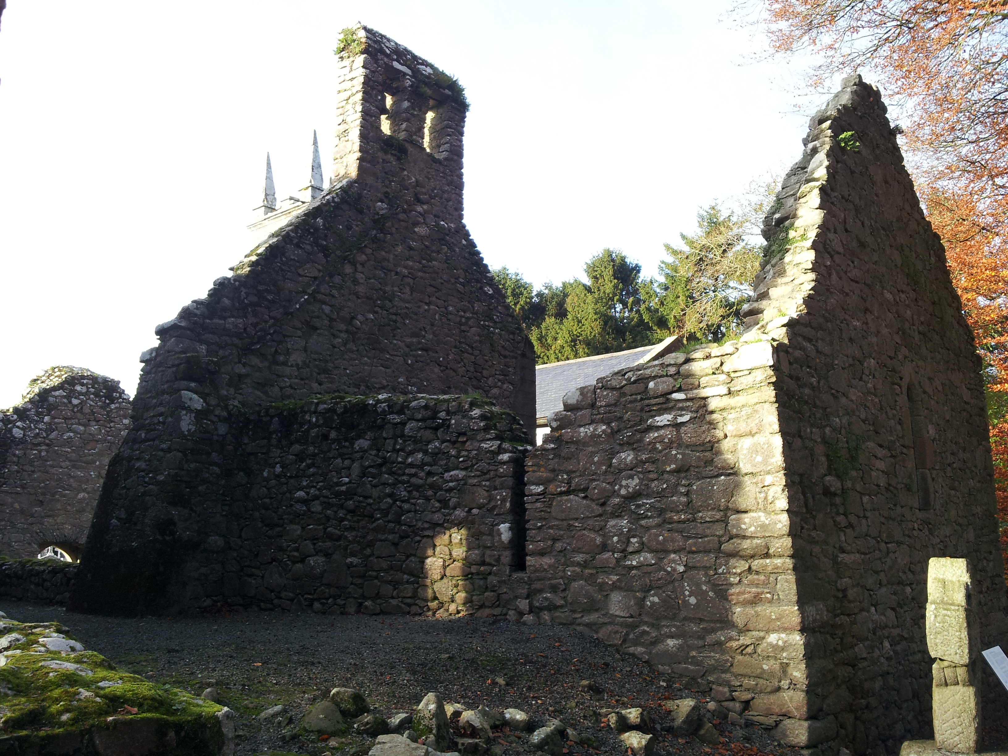 St. Mullins Oratory (in Ruins)Church · 1.6 mi
 White MountainMountain / peak · 1.7 mi
 Pollmounty Castle (in Ruins)Castle, tower house · 1.9 mi
 Silver WattleSilver Wattle · 2.0 mi
 1798 RebellionMemorial · 2.2 mi
 Graveyard in St. Mullin'sGraveyard · 2.2 mi
 St. Mullins MoatCastle, motte and bailey · 2.3 mi
 Bahana WoodForest · 2.7 mi