What is recorded here
On relatively low ground with excellent views to E, SE and W, restricted views to N and S mainly due to tree cover. Sections of a field system are visible extending under the current field wall to the S of the enclosures and to the N and also in between enclosures CW026-036002- and CW026-036003- and between CW026-036001- and CW026-036003-.
Compiled by: Claire Breen
Date of upload: 27 January 2012
The monument record does not grant public access. Check the route and ask the landowner before entering private land.
- What survives
- Recorded monument
Places near here
 Enclosure in DranaghEnclosure · 225 yd
 Saint Moling's Catholic Churchchurch/chapel · 1281 yd
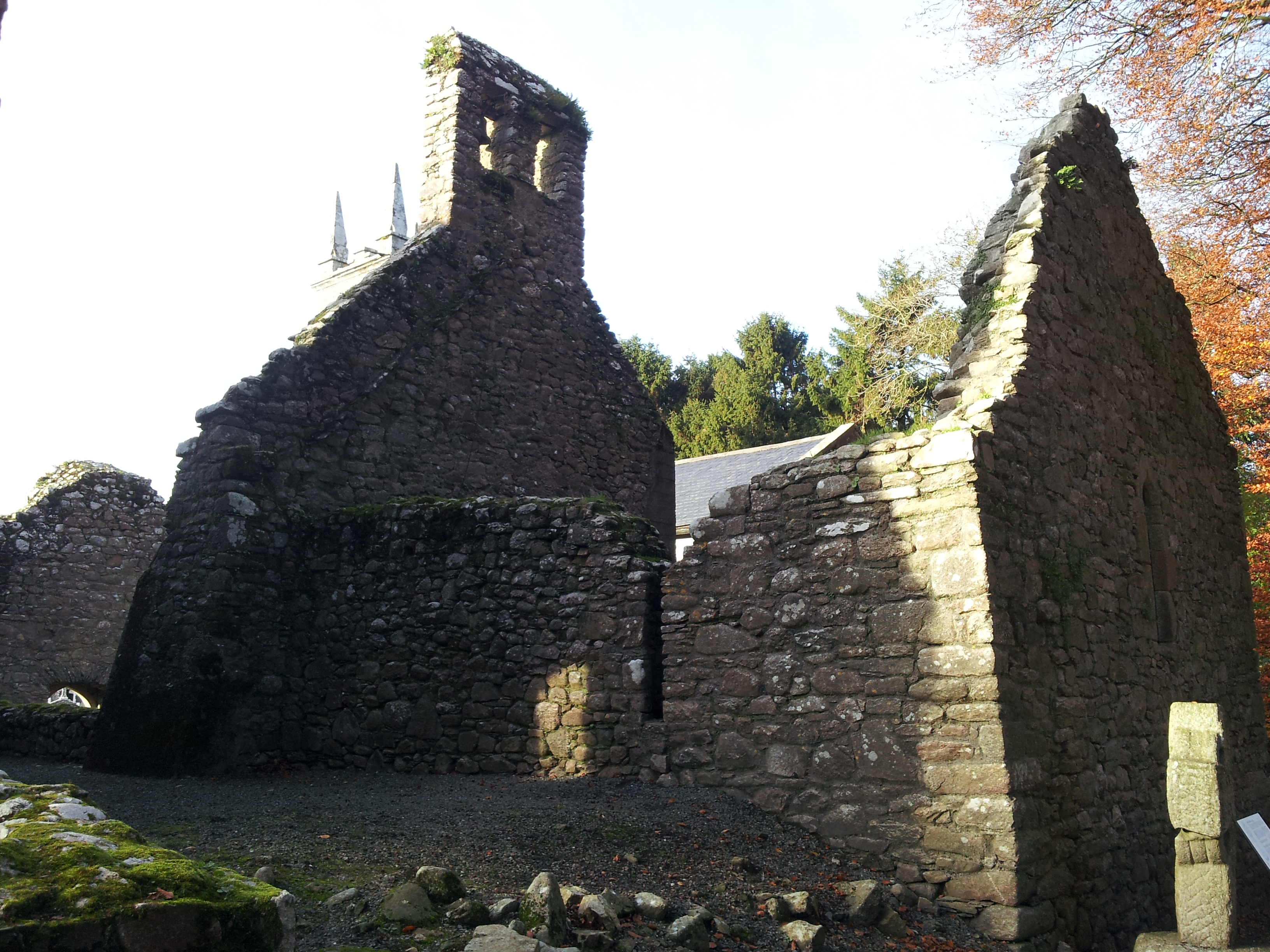 St. Mullins Oratory (in Ruins)Church · 1505 yd
 Enclosure in BallycrinniganEnclosure · 1.1 mi
 Graveyard in St. Mullin'sGraveyard · 1.6 mi
 St. Mullins MoatCastle, motte and bailey · 1.7 mi
 CarrigvahanaghMountain / peak · 1.7 mi
 Bahana WoodForest · 1.9 mi
 Silver WattleSilver Wattle · 2.1 mi
 Pollmounty Castle (in Ruins)Castle, tower house · 2.2 mi
 White MountainMountain / peak · 2.2 mi
 The SpoutSpring · 2.2 mi