
What is recorded here
On relatively low ground with excellent views to E, SE and W, restricted views to N and S mainly due to tree cover. In small field enclosed by dry stone walls. Roughly circular area (diam. c. 27m) enclosed by a stone bank (max. Wth. 4.5m, external H 0.5m, max. internal H. c. 1m). Interior is c. 0.5m lower in height than the surrounding field. Gorse bushes, trees and loose stone in centre. Opening in the WNW, possibly modern disturbance. Possible hut site (CW026-036005-) or smaller enclosure in W quadrant. This has a diam. of c. 12m and is surrounded by a bank (H. of c. 1m). Second possible hut site (CW026-036006-) on N edge (diam. 8m).
Compiled by: Claire Breen
Date of upload: 27 January 2012
The monument record does not grant public access. Check the route and ask the landowner before entering private land.
- What survives
- Recorded monument
Places near here
 Enclosure in DranaghEnclosure · 240 yd
 Saint Moling's Catholic Churchchurch/chapel · 1263 yd
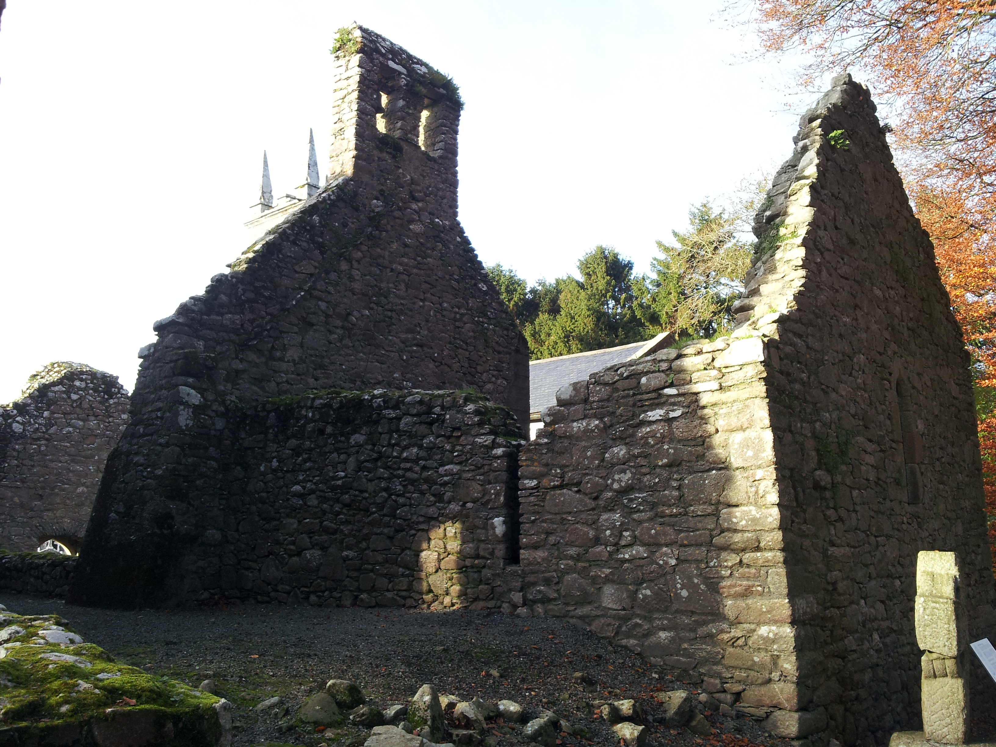 St. Mullins Oratory (in Ruins)Church · 1490 yd
 Enclosure in BallycrinniganEnclosure · 1.2 mi
 Graveyard in St. Mullin'sGraveyard · 1.6 mi
 St. Mullins MoatCastle, motte and bailey · 1.6 mi
 CarrigvahanaghMountain / peak · 1.7 mi
 Bahana WoodForest · 1.9 mi
 Silver WattleSilver Wattle · 2.1 mi
 Pollmounty Castle (in Ruins)Castle, tower house · 2.2 mi
 White MountainMountain / peak · 2.2 mi
 The SpoutSpring · 2.2 mi
Other information
Photo: Credit not shown in the picture search · Rights wording not checked; contact us if this picture should be removed