
What is recorded here
Semi-circular enclosure visible on aerial photograph (GSIAP S341-2, R1/1). On gentle N facing slope at the foot of the Dranagh Mountains with good views to the N. NW side is defined by a steep scarp and remainder defined by a ruined stone wall (diam. c. 46m; H c. 1m; Wth c. 2.5m). Not certain if this is an archaeological monument.
Compiled by: Claire Breen
Date of upload: 19 August 2011
A semi-circular early-medieval ringfort, likely dating to the 6th–10th centuries, situated on a north-facing slope near the Dranagh Mountains. Local tradition associates such sites with fairy dwellings, and they were often avoided due to beliefs in supernatural inhabitants.
The monument record does not grant public access. Check the route and ask the landowner before entering private land.
- What survives
- Recorded monument
Places near here
 Saint Moling's Catholic Churchchurch/chapel · 1440 yd
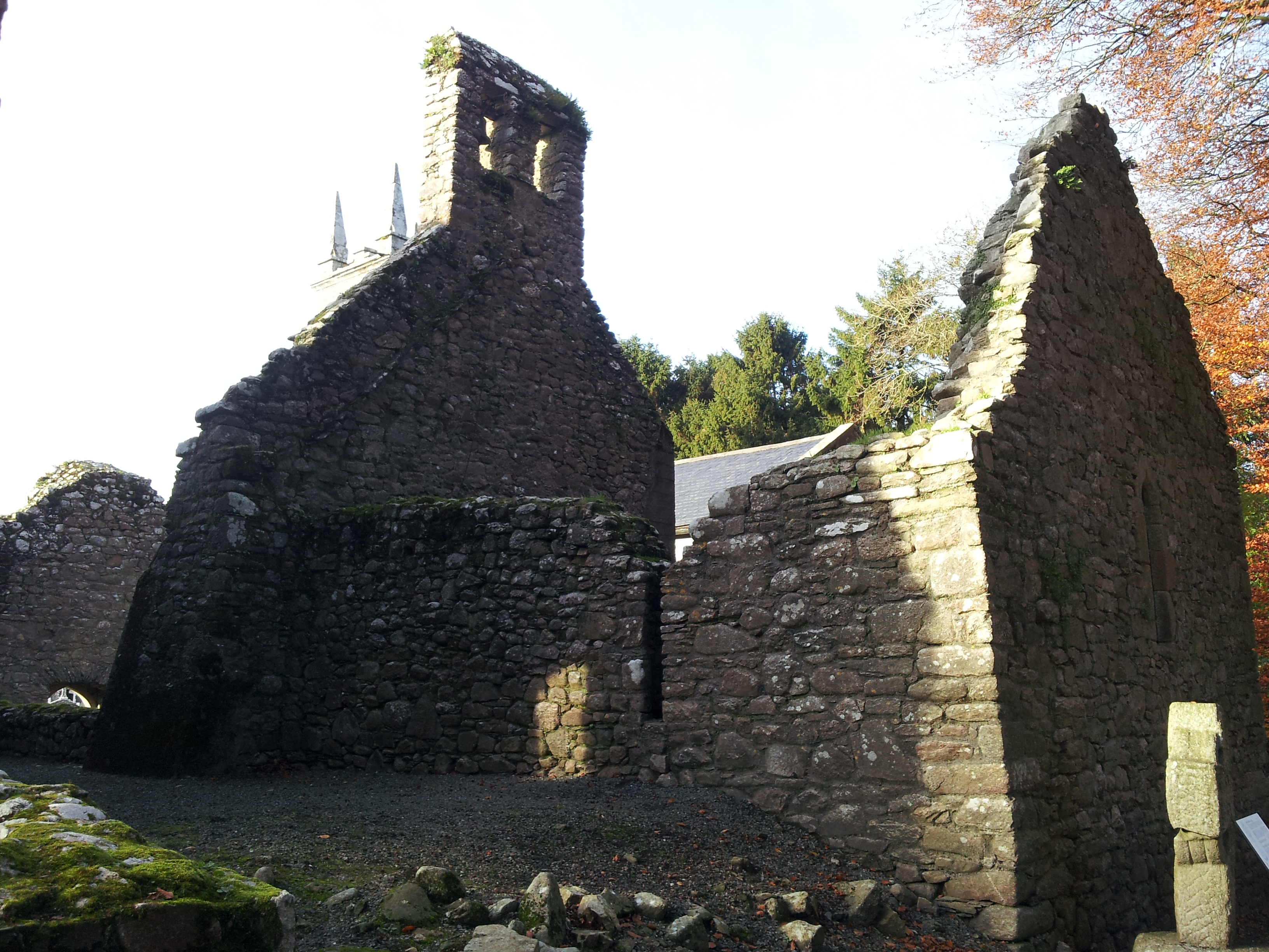 St. Mullins Oratory (in Ruins)Church · 1604 yd
 Enclosure in BallycrinniganEnclosure · 1.1 mi
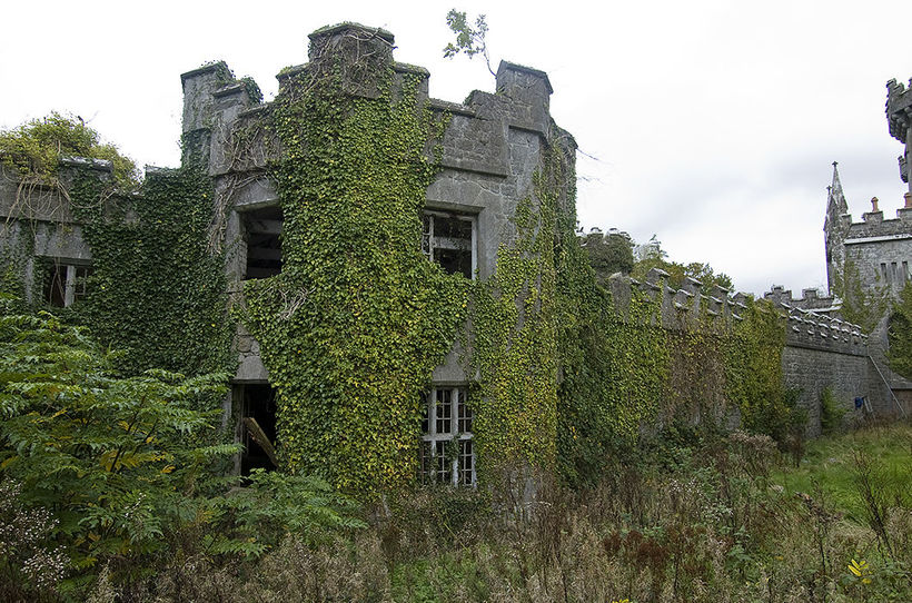 Enclosure in TemplenaboeEnclosure · 1.3 mi
 CarrigvahanaghMountain / peak · 1.6 mi
 Graveyard in St. Mullin'sGraveyard · 1.6 mi
 St. Mullins MoatCastle, motte and bailey · 1.6 mi
 Bahana WoodForest · 1.9 mi
 Silver WattleSilver Wattle · 2.0 mi
 Pollmounty Castle (in Ruins)Castle, tower house · 2.0 mi
 White MountainMountain / peak · 2.2 mi
 The SpoutSpring · 2.2 mi
Other information
Photo: Credit not shown in the picture search · Rights wording not checked; contact us if this picture should be removed