What is recorded here
Cloghalea was a circle of large upright stones, twenty-one feet across, in County Meath. Quarrymen broke it for roadwork or building stone during the eighteenth and nineteenth centuries. What remains is a gap where something old stood, perhaps a tomb, perhaps a marker for seasons or boundary. The stones are gone, but the shape of the loss is still visible in the land.
The following description is derived from the published 'Archaeological Inventory of County Meath' (Dublin: Stationery Office, 1987). In certain instances the entries have been revised and updated in the light of recent research.
Date of upload/revision: 10 July 2007
Classification uncertain - may have been a megalithic tomb or stone circle. Destroyed by quarrying in the eighteenth and nineteenth centuries, the surviving records indicate a circle of large stones set on end some 21 feet in diam. (Studia Hibernica 7, 142-5).
The monument record does not grant public access. Check the route and ask the landowner before entering private land.
- What survives
- Recorded monument
Places near here
 Enclosure in DowthEnclosure · 450 yd
 Proudfootstown CastleCastle, unclassified · 667 yd
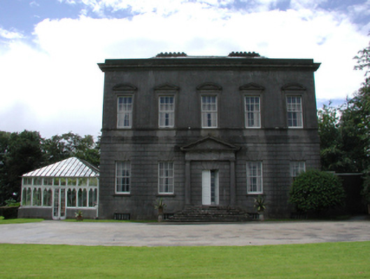 Dowth Hallcountry house · 735 yd
 Concentric enclosure in DowthConcentric enclosure · 782 yd
 Glenmore ForestWood · 933 yd
 pill boxpill box · 1091 yd
 Dowth CastleCastle, tower house · 1236 yd
 DowthNeolithic passage tomb · 1441 yd
 European YewEuropean Yew · 1566 yd
 Battle of the BoyneMajor battlefield · 1759 yd
 Battle of the Boyne Visitor CentreMuseum · 1.0 mi
 Brú na Bóinne Visitor Centre AccessHeritage attraction · 1.2 mi