
What is recorded here
Situated on a bluff overlooking a SSW-NNE section of the River Boyne, which is c. 100m to the SE. A remote sensing survey (12R0080 ext.) conducted during 2015 recorded two widely-spaced ditch features (ext. diam. c. 90m NNE-SW; int. diam. c. 40m NNE-SSW) that survive SSW-N and back onto a quarry-face or what might have been a natural cliff. A doubling of the outer ditch feature at SW probably indicates a re-working of the enclosing element here. (Ní Lionáin and Davis 2016, 161)
Compiled by: Michael Moore
Date of upload: 9 December, 2016
A local fairy fort (ringfort/rath); wider significance not recorded.
The monument record does not grant public access. Check the route and ask the landowner before entering private land.
- What survives
- Recorded monument
Places near here
 Glenmore ForestWood · 328 yd
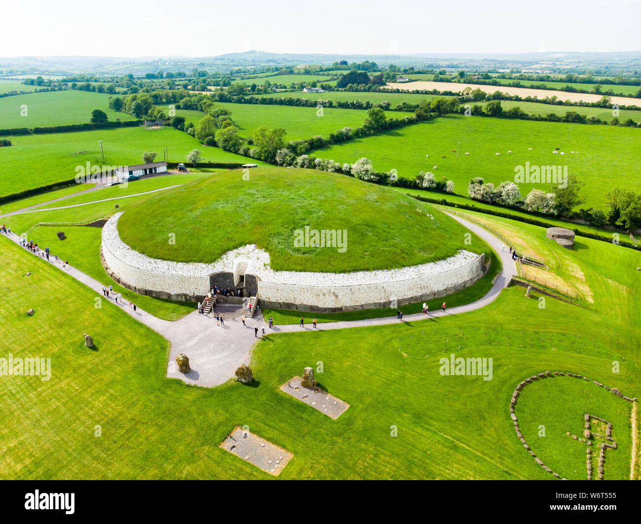 Enclosure in StalleenEnclosure · 490 yd
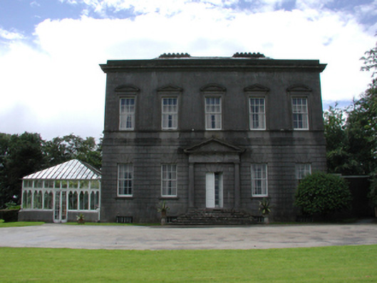 Dowth Hallcountry house · 707 yd
 Enclosure in DowthEnclosure · 937 yd
 Dowth CastleCastle, tower house · 1145 yd
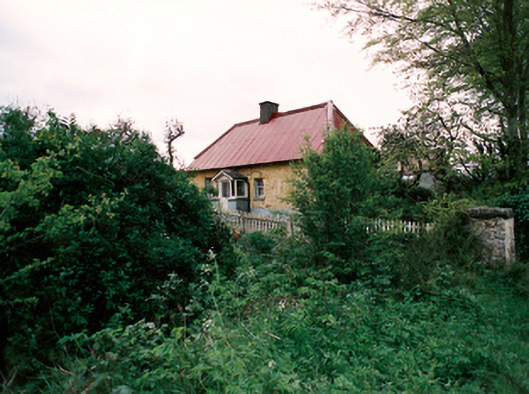 farm housefarm house · 1182 yd
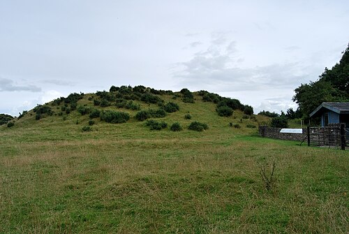 DowthNeolithic passage tomb · 1313 yd
 Proudfootstown CastleCastle, unclassified · 1443 yd
 Brú na Bóinne Visitor Centre AccessHeritage attraction · 1533 yd
 Brú na Bóinne Visitors CentreVisitor information · 1.0 mi
 European YewEuropean Yew · 1.3 mi
 Battle of the BoyneMajor battlefield · 1.4 mi
Other information
Photo: Credit not shown in the picture search · Rights wording not checked; contact us if this picture should be removed