What is recorded here
Downings North holds a rath on its east edge, perhaps the little fort that named the whole parish. The southern moat has vanished, leaving only the rath to mark the place where earth was shaped and life moved around it.
According to the OSL (Herity 2002, 38 (115)) Downings parish, 'Hib: na Duinínidh (the little forts) perhaps takes its Name from the Moat in the South, & the rath (KD013-010----) in the east of the Townland of Downings North'. The 'Moat in the south' was not located.
Compiled by: Gearóid Conroy
Date of upload: 10 June 2011
The monument record does not grant public access. Check the route and ask the landowner before entering private land.
- What survives
- Recorded monument
Places near here
 Church (in Ruins)Church · 281 yd
 RathFairy fort / earthen ringfort · 285 yd
 St. Farnans WellHoly well · 682 yd
 Ballynafagh Bog Special Area of ConservationNature reserve · 1025 yd
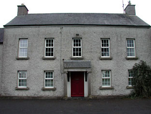 The Presbyteryhouse · 1425 yd
 Blackwood Castle (in ruins)Castle, tower house · 1.4 mi
 The Kildare MazeHeritage attraction · 1.4 mi
 Grand Canal WayVisitor information · 2.0 mi
 Museum of MotorsportMuseum · 2.4 mi
 1798 Rebellion MemorialMemorial · 3.7 mi
 Queen Buans GraveCastle, motte and bailey · 3.7 mi
 Naas ParkWood · 6.2 mi