What is recorded here
Unknown identity, unknown date, unknown cause. The chart marks only a ghost shape: nineteen metres long, four wide, five high, buried under twenty-seven metres of County Down water. Perhaps a cargo hold, perhaps a rock pretending to be a ship. The sea keeps both options alive.
The official Northern Ireland wreck record identifies Recorded wreck SWR298 as Unknown (obstruction?). It was lost in Unknown. Recorded depth: 27m. Recorded condition: 19x4x5m sonar anomaly.
A wreck point does not grant access or permission to dive, enter land, disturb the site or recover anything. Check current law and local conditions first.
Places near here
 Sandy IslandIslet · 874 yd
 Swan IslandIslet · 979 yd
 Strangford Presbyterian ChurchChurch · 1010 yd
 STONE QUAY in Strangford LowerSTONE QUAY · 1028 yd
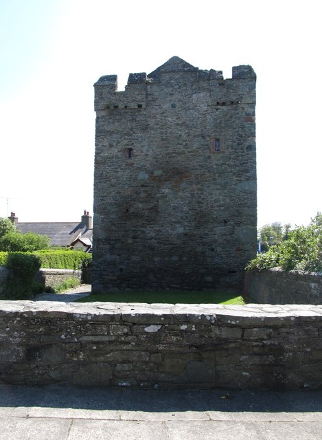 Strangford CastleCastle · 1055 yd
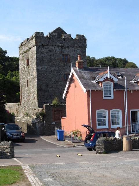 TOWER-HOUSE: STRANGFORD CASTLE in Strangford LowerTOWER-HOUSE: STRANGFORD CASTLE · 1056 yd
 Cranes' CornerHeadland · 1494 yd
 WINDMILL STUMP: PORTAFERRY WINDMILL (c.f. IHR 3264 for details) in TullyboardWINDMILL STUMP: PORTAFERRY WINDMILL (c.f. IHR 3264 for details) · 1554 yd
_-_geograph.org.uk_-_2577933.jpg?width=1280) Methodist ChurchChurch · 1.0 mi
Methodist ChurchChurch · 1.0 mi MEDIEVAL CHURCH & GRAVEYARD: BALLYTRUSTAN; THRUSTAYNISTONE in BallytrustanMEDIEVAL CHURCH & GRAVEYARD: BALLYTRUSTAN; THRUSTAYNISTONE · 1.1 mi
 Audley's CastleHeritage attraction · 1.4 mi
 Castle Ward HouseHeritage attraction · 1.4 mi