What is recorded here
Fairy fort / earthen ringfort in Doonshaskin is a fairy fort or earthen ringfort in Doonshaskin, County Sligo, Ireland. It occupies a gentle north-facing pasture slope with a raised circular area measuring 25.6 metres across. An earth and stone bank, 1.6 metres wide and between 0.6 and 1.6 metres high, encloses the site and joins the field boundary from south-southwest through west to north-northwest. A cluster of stones sits in an irregular depression at the outer northwest foot of the bank, while the original entrance remains unrecognisable.
Situated on a gentle N-facing slope in pasture. Raised circular area (diam. 25.6m) enclosed by a bank of earth and stone (Wth. 1.6m; int. H 0.6m; ext. H 1.6m) which has been incorporated into the field boundary from SSW-W-NNW. No fosse. At the outer foot of the bank/field boundary at NW are a series of stones within an irregular depression. Original entrance not recognisable.
Compiled by: Patrick F. O'Donovan
Date of upload: 17 April 2013
The monument record does not grant public access. Check the route and ask the landowner before entering private land.
- What survives
- Recorded monument
Places near here
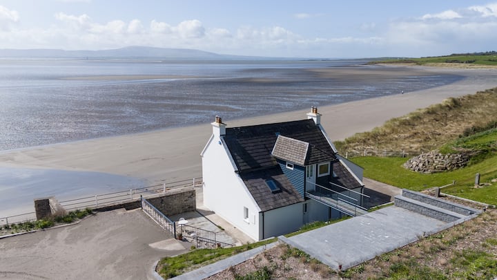 Enclosure in BallyscannelEnclosure · 1261 yd
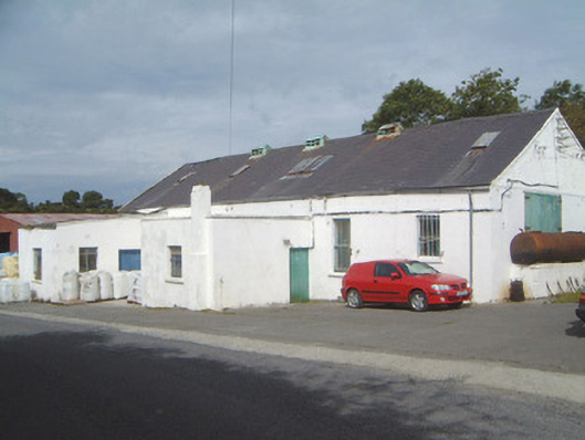 Ballinfull Creamerycreamery · 1604 yd
 Enclosure in AgharrowEnclosure · 1.3 mi
 Bawn in DoonforeBawn · 1.4 mi
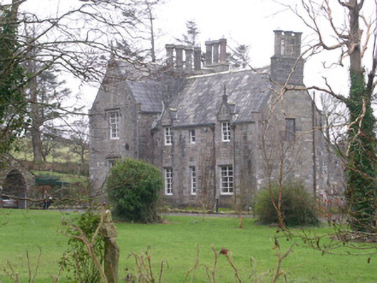 The Rectoryrectory/glebe/vicarage/curate's house · 1.4 mi
 Upperglen WoodForest · 1.6 mi
 Forester's WoodForest · 1.6 mi
 de Cuellar Armada MonumentMemorial · 1.8 mi
 Atlantic SheepdogsHeritage attraction · 2.2 mi
 Streedagh BeachVisitor information · 2.3 mi
 Castle (Site of)Castle, unclassified · 2.4 mi
 InishnagorIslet · 3.2 mi