What is recorded here
Doonmoon hides a wide curving ditch inside reclaimed wet pasture, perhaps marking a lost water channel rather than an ancient boundary. That much is visible in aerial images taken for the Bórd Gáis Éireann pipeline and later Earth views. The post-1700 field ditch beside it suggests human shaping, while the absent eastern edge warns against rushing into legend.
In reclaimed wet pasture. Not marked on OSi historic maps. Possible site identified during examination of aerial photographs (BGE 1/10,000, 72) taken 03/11/1984 on Bórd Gáis Éireann gas pipeline. Semi-circular shaped earthwork visible as a large curving cropmark (approx. dims. 100m N-S; 70m E-W) to W of a post-1700 field boundary/drainage ditch running roughly N-S. A relic watercourse intersects the cropmark at SW. No evidence of an enclosing element to E of post-1700 field boundary which casts doubt on the antiquity of this feature. Visible as a curving waterlogged ditch on Google Earth orthoimage taken 20/03/2018. Could be the remains of a curving water channel associated with land reclamation rather than the remains of an archaeological earthwork.
See attached Google Earth orthoimages.
Compiled by: Fiona Rooney
Date of upload: 2 June 2021
See attached ASI aerial photograph ASIAP – 303/25 on 13/09/2002.
The monument record does not grant public access. Check the route and ask the landowner before entering private land.
- What survives
- Recorded monument
Places near here
 Kiln in DoonmoonKiln · 564 yd
 BarrowBarrow, unclassified · 643 yd
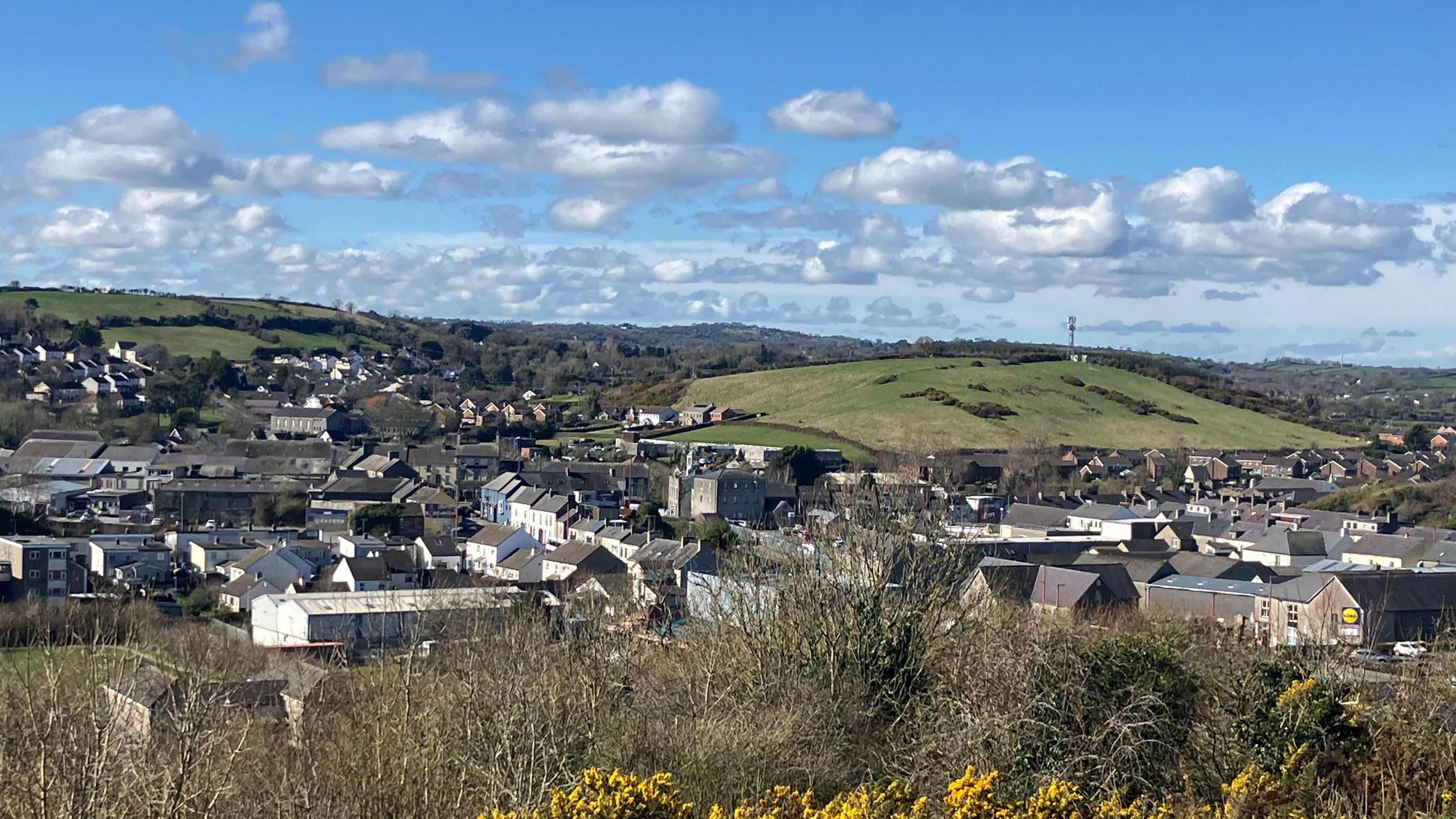 Field system in BallynahinchField system · 740 yd
 Church in BallynahinchChurch · 1109 yd
 Athneasy FortCastle, motte and bailey · 1.2 mi
 Castle (in ruins)Castle, tower house · 1.3 mi
 St Patrick's WellSpring · 1.4 mi
 Edmund's WellSpring · 1.6 mi
 Ballinvreena LoopVisitor information · 2.5 mi
 Flat cemetery in Knockainy WestFlat cemetery · 3.2 mi
 SlievereaghMountain / peak · 3.6 mi
 Carn (site of)Cairn, burial cairn · 4.0 mi