What is recorded here
Fairy forts like Dooally are common in Ireland, but the truth is simpler: people made them. The measurements are modest, yet the shape is deliberate. A circular boundary, a cut edge, a narrow ditch, and a clear interior suggest a home, pen, or boundary marker rather than a child's fantasy. The fairies enter later, when people stopped knowing the first hands that shaped the earth.
In level pasture. Circular area (29.3m N-S; 28.4m E-W) defined by scarped edge (H 0.7m; Wth 3m), with external fosse (D 0.3m; Wth 2.15m) NNE->SW and W->NW. Drain runs along base of scarped edge NW->NNE. Interior level, damp and clear of overgrowth.
Compiled by: Denis Power
Date of upload: 26 August 2011
See attached ASI aerial photographs ASIAP – taken on 04/03/2006.
The monument record does not grant public access. Check the route and ask the landowner before entering private land.
- What survives
- Recorded monument
Places near here
 Dooally Bridgebridge · 690 yd
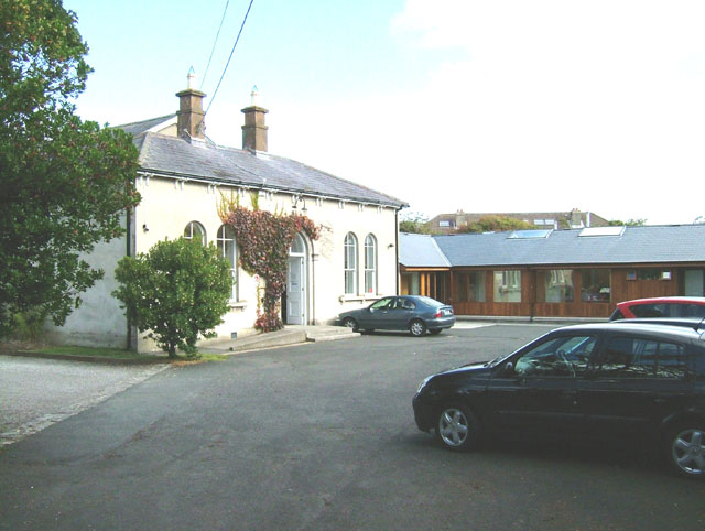 Enclosure in ChurchtownEnclosure · 883 yd
 Churchtown Housecountry house · 1030 yd
 Enclosure in Castle DemesneEnclosure · 1201 yd
 Templars Castle (in ruins)Castle, Anglo-Norman masonry castle · 1.2 mi
 Limerick GreenwayWalking route · 2.7 mi
 CahermoyleCastle, unclassified · 3.3 mi
 St. Luke's WellSpring · 3.5 mi
 Sugar HillMountain / peak · 4.2 mi
 St. Kieran's WellSpring · 4.6 mi
 Ballagh MountainMountain / peak · 6.8 mi
 Lawson's CypressLawson's Cypress · 8.2 mi