What is recorded here
Indicated is a pentagonal ringfort on the north end of Ringarogy Island, its low earthen bank still framing a space barely wide enough for a small household. The land office drew it on a map in 1842, but the breaks in the bank still point toward the western laneway as if waiting for someone to leave. Cattle may have trod the entrances flat, yet the ridge-like memory of a lived boundary remains visible through the pasture.
In pasture, on N-facing slope, at N end of Ringarogy Island. Circular enclosure hachured on OS 6-inch map (1842). Roughly pentagonal area (24.45m N-S; 22.75m E-W) enclosed by earthen bank (H 1.4m) NE->NW; linear stone field fence to N side. Breaks in bank to SW (Wth 4.2m) and NW (Wth 2m), both leading to laneway which skirts bank to W. Interior ploughed, ridges run N-S.
The above description is derived from the published 'Archaeological Inventory of County Cork. Volume 1: West Cork' (Dublin: Stationery Office, 1992). In certain instances the entries have been revised and updated in the light of recent research.
Date of upload/revision: 14 January 2009
The monument record does not grant public access. Check the route and ask the landowner before entering private land.
- What survives
- Recorded monument
Places near here
 Donegall Castle (in Ruins)Castle, unclassified · 683 yd
 Passage tomb in The Lag (ringarogy Island)Passage tomb · 745 yd
 Structure in Donegall EastStructure · 761 yd
 Lag Bridgebridge · 768 yd
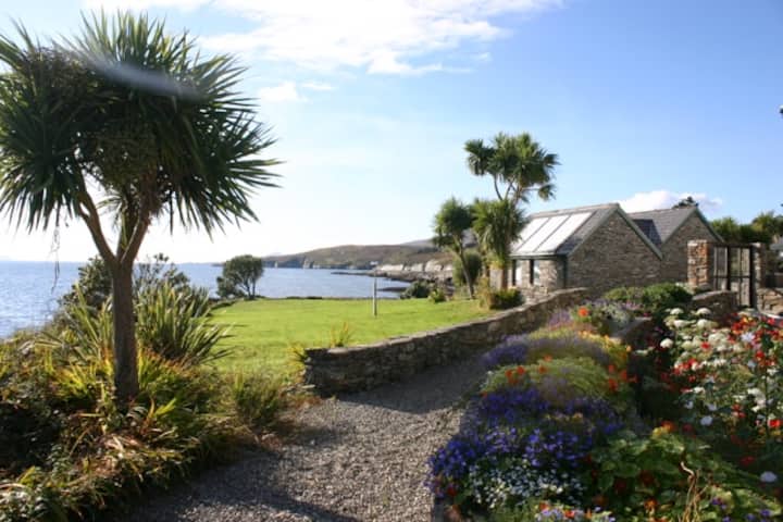 Reenmore IslandIslet · 1300 yd
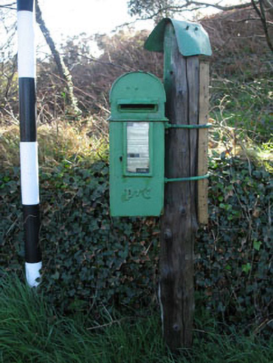 post boxpost box · 1319 yd
 Ringarogy IslandIsland · 1384 yd
 Wild Atlantic WayVisitor information · 1.1 mi
 CastleCastle, unclassified · 1.4 mi
 Wave Chieftain Whale WatchingHeritage attraction · 1.9 mi
 KnockomaghMountain / peak · 2.1 mi
 Monterey CypressMonterey Cypress · 2.3 mi