
What is recorded here
Half-submerged in the Lag, the tomb breathes with the tide: gallery and chamber fill, empty, fill again. Its stones still stand aligned ENE-WSW, but the sea has taken most of the mound and leaves only weed-covered tops to mark the place. Whatever was buried there now belongs as much to the river as to the dead, given back and taken with every flood.
The tomb lies on the E side of Ringarogy Island, a small rocky eminence in the estuary of the Illen River, locally known as the Lag. Much of the island and almost all of the tomb is inundated at high tide. The tomb is covered in sea-weed and only the tops of two orthostats are visible above the high-water mark. The remains consist of a gallery (L 3m; Wth 1m), aligned ENE-WSW, formed by three sidestones to the N and three to the S. The gallery opens to the E where a transversely set, jamb-like stone (H 1.1m) standing at the E end of the N side with a further smaller orthostat (H 0.5m) to E indicates some form of elaboration of the entrance area. The W end of the gallery is closed by a substantial backstone (H 1.15m). Four prostrate slabs to the E of the entrance area and two others to the S probably represent displaced roofing elements. The mound for the most part has been removed by tidal action; three kerbstones are in situ 2m N of the gallery and three possible examples can be identified to the NW. (Shee Twohig 1995, 7-9)
The above description is derived from 'The Archaeological Inventory of County Cork. Volume 5' (Dublin: Stationery Office, 2009).
Date of upload: 22 December 2009
Passage tomb, dating to the Neolithic period (c. 3500–2500 BCE). Its location on a tidal island highlights the significance of water and landscape in Neolithic funerary practices.
This remains an important historical record, but the official description says the monument is no longer visible or has been destroyed. The monument record does not grant public access. Check the route and ask the landowner before entering private land.
- What survives
- No visible remains or recorded as destroyed
Places near here
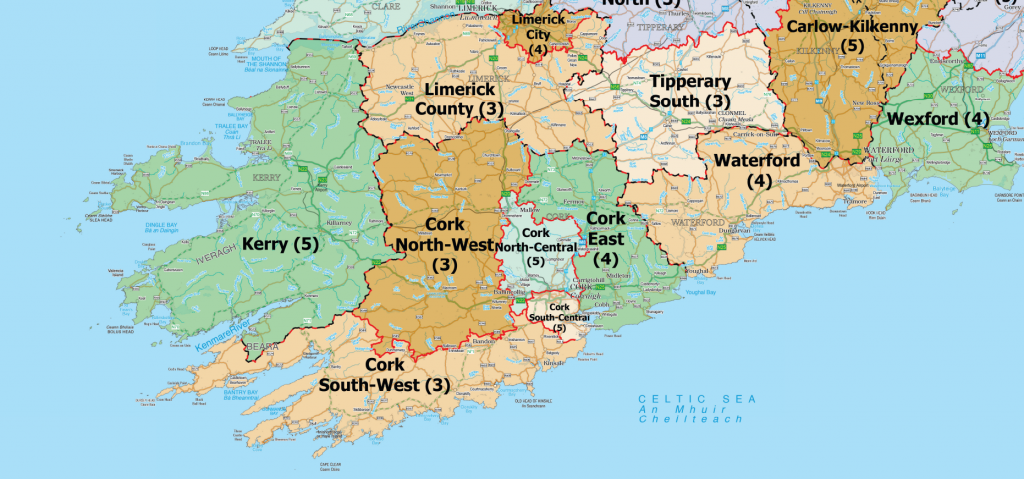 Structure in Donegall EastStructure · 219 yd
 Lag Bridgebridge · 241 yd
 Structure in LackaghaneStructure · 391 yd
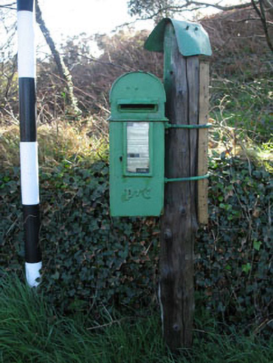 post boxpost box · 606 yd
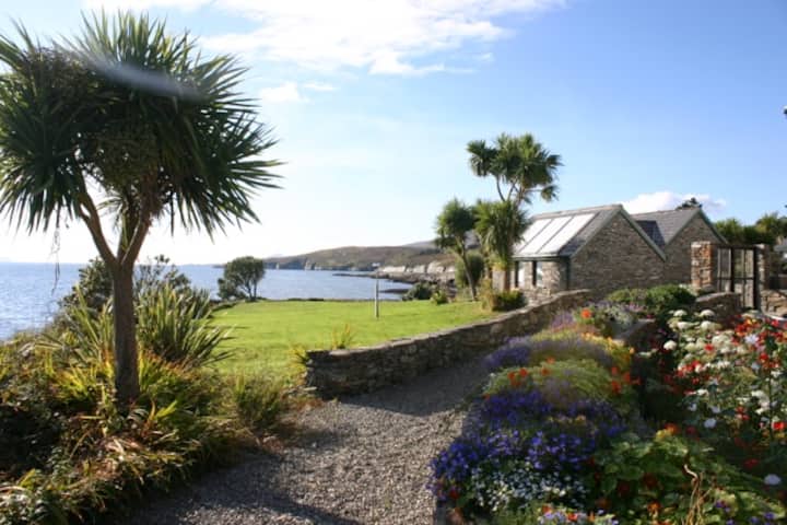 Reenmore IslandIslet · 694 yd
 Donegall Castle (in Ruins)Castle, unclassified · 1141 yd
 Ringarogy IslandIsland · 1337 yd
 CastleCastle, unclassified · 1.1 mi
 Wild Atlantic WayVisitor information · 1.3 mi
 Wave Chieftain Whale WatchingHeritage attraction · 1.7 mi
 KnockomaghMountain / peak · 1.8 mi
 Walk 5 - Lough Hyne (7km)Walking route · 2.1 mi
Other information
Photo: Credit not shown in the picture search · Rights wording not checked; contact us if this picture should be removed