What is recorded here
Dungravenen is a clifftop promontory fort on the northern shore of the Erne estuary near Ballyshannon, where a rock-cut fosse and earthen bank guarded the landward approach. Inside the level interior sits a horseshoe-shaped mound with its own ditch, just south of the entrance causeway. Beneath the surface lies an elaborate souterrain with interconnected rock-cut chambers, flagstone roofs, a stone lintel doorway and three separate openings to the air, suggesting storage, refuge or ritual use by the ancient community.
Dungravenen is recorded as a archaeological place in County Donegal. Its open map record supplies this location and any linked names or public references.
Places near here
 Dungravenen Promontory FortPromontory fort, coastal · 5 yd
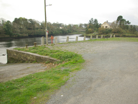 quay/wharfquay/wharf · 292 yd
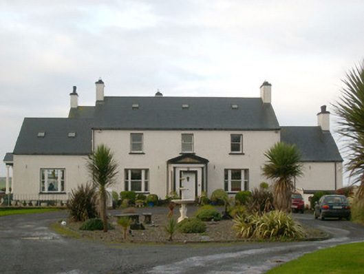 Danby Househouse · 327 yd
 Mullanashee fortBastioned fort · 519 yd
 St Anne's Church GraveyardGraveyard · 598 yd
 CastleCastle, unclassified · 978 yd
 Wardtown StrandBeach / strand · 1.5 mi
 Tullan StrandBeach / strand · 1.8 mi
 Castle in ruinsCastle, unclassified · 2.1 mi
 Finner Old GraveyardGraveyard · 2.4 mi
 Cliffs by BundoranPublicly named cliff or headland · 2.7 mi
 Dark Cliffs at KilbarronPublicly named cliff or headland · 2.8 mi