What is recorded here
According to Carrigan (1905, vol. 2, 352), the medieval church was destroyed in 1821. References to it date from the fifteenth century. The present church was built on its site. Situated in the village of Donaghmore. References date from fifteenth century when Patrick Obnagi or Obnoeci was the Rector of Donaghmore (Carrigan 1905, vol. 2, 352). The C of I church was built in 1824. The medieval church was dedicated to St Patrick. Donaghmore motte (LA028-024001-) and St Patricks Well (LA028-023) are located 240m and 210m NNW of the church and graveyard.
The above description is derived from the published 'Archaeological Inventory of County Laois' (Dublin Stationery Office, 1995) compiled by P. David Sweetman, Olive Alcock and Bernie Moran. In certain instances the entries have been revised and updated in the light of recent research.
Date of upload: 17 December 2007
This remains an important historical record, but the official description says the monument is no longer visible or has been destroyed. The monument record does not grant public access. Check the route and ask the landowner before entering private land.
- What survives
- No visible remains or recorded as destroyed
Places near here
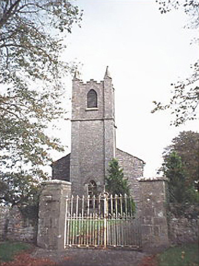 Saint Patrick's Church (Donaghmore)church/chapel · 1 yd
 Donaghmore MoatCastle, motte · 271 yd
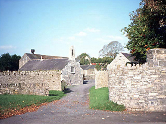 mill (water)mill (water) · 277 yd
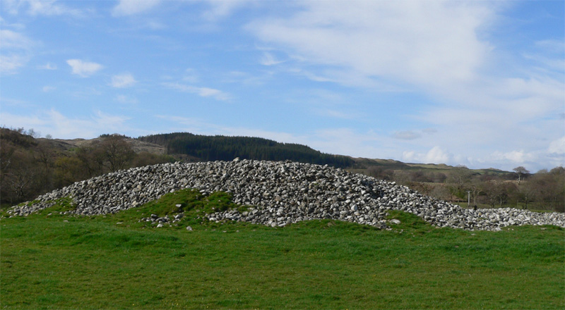 Enclosure in Ballyhegadon GlebeEnclosure · 581 yd
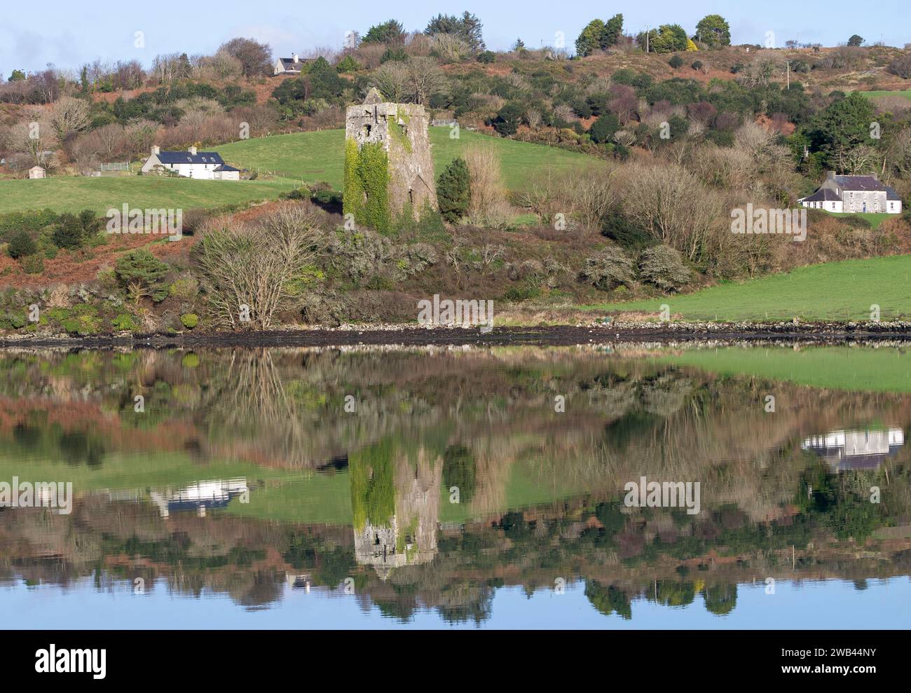 Enclosure in Raheen UpperEnclosure · 717 yd
 Donaghmore Castle ruinsCastle · 1318 yd
 Big WoodWood · 4.6 mi
 Cnoc SeanrathaMemorial · 5.1 mi
 Clonmeen WoodWood · 5.1 mi
 DelaneyMemorial · 8.7 mi
 College HillMountain / peak · 10 mi
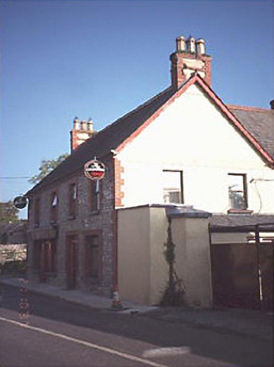 public housepublic house · 284 yd