What is recorded here
Grave Yard holds the oldest buried lives near Celbridge because a new road cut through Donaghcomper churchyard around 1725. The ancient part remains a small raised rectangle beside the road, while the larger graveyard stretches east and south into open pasture. People have kept returning to that same ground, changing its shape but never removing the dead already sleeping beneath it.
Located on the S roadside in level pasture NE of Celbridge village. According to Kirkpatrick (1896, 280-810), 'When the present road from Celbridge was made (c.1725) it was cut right through Donaghcomper churchyard'. The older section of the graveyard survives as a slightly raised rectangular area (dims L c. 33m E-W; Wth c. 30m) defined by a low scarp (H 0.5-0.9m) along its E, S and W sides, and by a modern mortared stone wall along the roadside to the N. It contains a ruined medieval parish church (KD011-013----), and the earliest legible grave markers date to the 18th c. The graveyard has been extended to the E and S and occupies a sub-rectangular area (dims. L c. 120m E-W; Wth c. 70m).
Compiled by: Gearóid Conroy
Date of upload: 10 June 2011
The monument record does not grant public access. Check the route and ask the landowner before entering private land.
- What survives
- Recorded monument
Places near here
 Church (in Ruins)Church · 20 yd
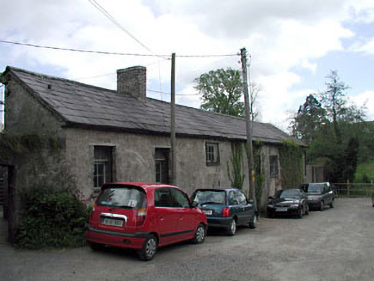 kennelskennels · 609 yd
 Common LimeCommon Lime · 685 yd
 Arthur GuinessMemorial · 721 yd
 Enclosure in BallyoulsterEnclosure · 958 yd
 John McLaughlinMemorial · 1028 yd
 Celbridge Union Workhouse, site ofArchaeological place · 1036 yd
 CastleCastle, unclassified · 1042 yd
 Saint Wolstan'sHeritage attraction · 1116 yd
 Castletown HouseHeritage attraction · 1145 yd
 Oriental planeOriental plane · 1170 yd
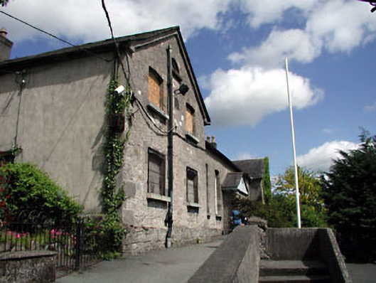 schoolschool · 622 yd