What is recorded here
Doire Leathan holds a square boulder with a smooth deep bowl, buried in the south boundary of a cottage road. The first survey mapped it at the heart of a clochan, suggesting neighbours gathered there before the village thinned to one roof. Perhaps people rubbed the stone, poured water into it, or measured life against its round edge while the second bullaun waited two hundred metres away. The bowl remains clean and deliberate, ready for hands that have forgotten the reason but not the shape.
Bullaun stone incorporated into the S facing field boundary of a roadway leading into a cottage. The monument consists of a roughly square shaped boulder (dims. H 0.42m; Wth 0.58m) with a deep smooth sided bowl (top diam. 0.31m; base diam. 0.17m; D 0.2m) in the centre. On the first edition of the Ordnance Survey 6-inch map this bullaun is located in the centre of a clochan or clustered settlement. It is possible that this bullaun was a mortar used by the occupants of the clustered settlement of which only one cottage survives intact. A second bullaun (DG096-038) carved into bedrock is located 230m to the SSE.
Compiled by: Caimin O'Brien
Date of upload/revision: : 26 May 2010
Likely dating to the early medieval period, bullaun stones were often used for the preparation of holy water or as ritual sites associated with Christian or pre-Christian traditions. This example may have had a local spiritual or healing significance, possibly linked to nearby settlements or ecclesiastical sites.
The monument record does not grant public access. Check the route and ask the landowner before entering private land.
- What survives
- Recorded monument
Places near here
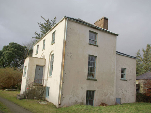 Roxborough Eaglais na hÉireann Reachtaireachtrectory/glebe/vicarage/curate's house · 523 yd
 Doire Leathan Coastal Promontory FortPromontory fort, coastal · 1194 yd
 Mass-rock in Doire LeathanMass-rock · 1202 yd
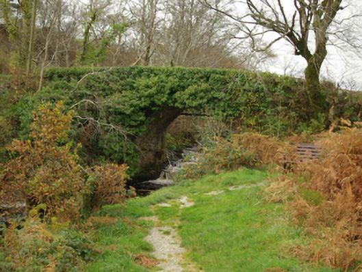 Droichead an Charraig Íochtarachbridge · 1728 yd
 Cliffs at TeelinPublicly named cliff or headland · 1.0 mi
 Dundawoona Point / Pointe an DúinHeadland · 1.4 mi
 CroaghmuckrosMountain / peak · 2.3 mi
 TraloarBeach / strand · 2.4 mi
 International Appalachian Trail Ulster-IrelandWalking route · 2.5 mi
 Slieve League SE TopMountain / peak · 2.7 mi
 TrabaneBeach / strand · 2.7 mi
 CastleCastle, unclassified · 3.1 mi