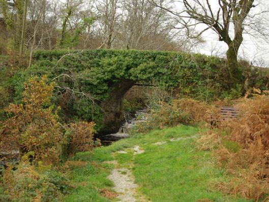
What is recorded here
Single-arch road bridge over the Owenwee River, built c. 1800. Uncoursed rubble stone construction to spandrels; rubble stone construction to parapets having rubble stone coping over. Recent concrete blockwork repairs to the west end of parapet to the north. Round-headed arch having roughly dressed voussoirs; rubble stone construction to arch barrel. Concrete block supports carrying pipe to the north side of bridge. Located in the rural countryside to the south-west of An Charraig/Carrick. Located close to point where Owenwee River flows into Teelin Bay.
This fine picturesque bridge retains much of its early character, despite some insensitive modern alterations and repairs. It is robustly-constructed in local rubble stone masonry, and its continued survival and use stands as testament to the quality of its original construction, and of the skill of the masons involved. The tall round-headed arch is an attractive feature of some technical interest. This bridge probably originally dates to the late-eighteenth or early-nineteenth century, a period that saw a great deal of road and bridge-building in Ireland, particularly by the Grand Juries (the forerunners of the County Councils). This bridge may have been constructed by a local landowner to provide easy access to the harbour and pier at Teelin to the south. This appealing rustic bridge is an attractive feature in the rural landscape to the south-west of An Charraig/Carrick, and is an integral element of the built heritage of the local area.
This does not grant access. Most recorded buildings are privately owned; view them only from public ground unless the owner allows entry.
Places near here
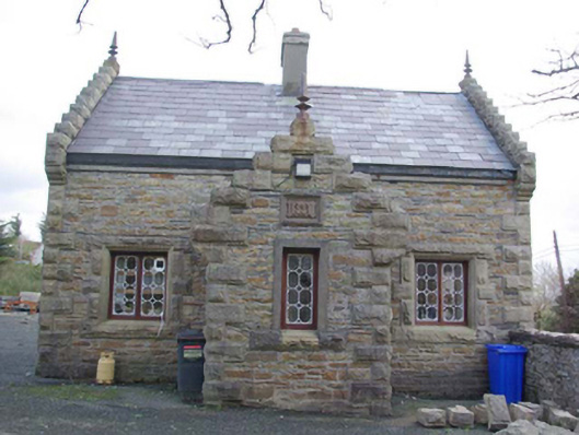 Carrick Lodgegate lodge · 1073 yd
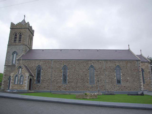 Caitliceach Naomh Columba Eaglaischurch/chapel · 1125 yd
 Cill Chathasaigh Buried Wooden EnclosureEnclosure · 1.6 mi
 Doire Leathan Coastal Promontory FortPromontory fort, coastal · 1.6 mi
 Cliffs at TeelinPublicly named cliff or headland · 1.9 mi
 International Appalachian Trail Ulster-IrelandWalking route · 2.0 mi
 Slieve League SE TopMountain / peak · 2.1 mi
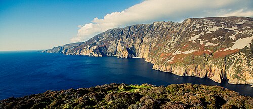 Slieve LeagueViewpoint · 2.2 mi
 Dundawoona Point / Pointe an DúinHeadland · 2.4 mi
 CroaghstraleelMountain / peak · 2.7 mi
 TraloarBeach / strand · 3.4 mi
 TrabaneBeach / strand · 3.7 mi
Other information
Photo: National Inventory of Architectural Heritage · Website use allowed for educational or private purposes with source credit