
What is recorded here
Doire Leathan Coastal Promontory Fort occupies a circular to oval promontory 55m E-W by 57m N-S on the E side of Teelin Bay, cut off from the mainland by an earthen bank up to 2.28m high and a fosse in places up to 1.8m deep. The NW defences are largely destroyed, leaving a 2.7m gap that could mark the entrance but does not prove it. Inside, a western rock knoll and a field wall divide good pasture where people may have kept livestock, watched the bay, or simply lived beside the sea.
A circular to oval promontory 55m E-W by 57m N-S is cut off from the mainland by an earthen bank up to 2.28m high and a fosse in places up to 1.8m deep. The bank and fosse have been largely destroyed on the NW side. A 2.7m gap in the bank and fosse here could indicate the entrance but because of the destruction it is difficult to be certain. A knoll of rock outcrops on the W side of the interior which is also divided by a field wall. The site is located in good pasture on the E side of Teelin Bay.
The above description was derived from the 'Archaeological Survey of County Donegal. A description of the field antiquities of the County from the Mesolithic Period to the 17th century.' Compiled by: Brian Lacey with Eamon Cody, Claire Cotter, Judy Cuppage, Noel Dunne, Vincent Hurley, Celie O'Rahilly, Paul Walsh and Seán Ó Nualláin (Lifford: Donegal County Council, 1983). In certain instances the entries have been revised and updated.
Date of upload: 22 September 2008
Excavation licence number 04E1238
Five test-trenches were opened on the site of a single housing development at Derrylahan, Kilcar. The site is close to a promontory fort. No archaeological remains were uncovered on the site. (Excavations Bulletin 2004)
Mary Henry, Mary Henry Archaeological Services Ltd, 17 Staunton Row, Clonmel, Co. Tipperary
The monument record does not grant public access. Check the route and ask the landowner before entering private land.
- What survives
- Recorded monument
Places near here
 Mass-rock in Doire LeathanMass-rock · 459 yd
 Kilbeg Wedge TombWedge tomb · 461 yd
 IndicatedChurch · 640 yd
 Cliffs at TeelinPublicly named cliff or headland · 682 yd
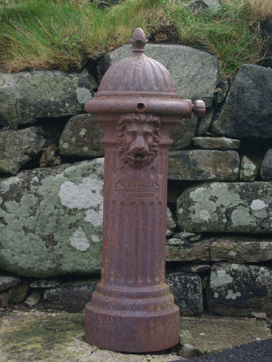 water pumpwater pump · 722 yd
 Dundawoona Point / Pointe an DúinHeadland · 1338 yd
 CroaghmuckrosMountain / peak · 1.9 mi
 TraloarBeach / strand · 1.9 mi
 TrabaneBeach / strand · 2.3 mi
 International Appalachian Trail Ulster-IrelandWalking route · 2.7 mi
 Slieve League SE TopMountain / peak · 3.0 mi
 CastleCastle, unclassified · 3.1 mi
Other information
Photo: Credit not shown in the picture search · Rights wording not checked; contact us if this picture should be removed