What is recorded here
In rough grazing on higher terrace to hut site (CO127-031---) c. 60m to SSE. Square area (12.8m E-W; 12.4m N-S) defined by upright stones to E; stone-faced scarp to S; rough walling to W, except at N end where outer ground level higher and walling replaced by inner stone facing; bank to N (int. H 0.35m; ext. H 0.5m) with stone facing. Interior heavily overgrown with ferns; N side level; S side slopes down to SW.
The above description is derived from the published 'Archaeological Inventory of County Cork. Volume 1: West Cork' (Dublin: Stationery Office, 1992). In certain instances the entries have been revised and updated in the light of recent research.
Date of upload/revision: 14 January 2009
The monument record does not grant public access. Check the route and ask the landowner before entering private land.
- What survives
- Recorded monument
Places near here
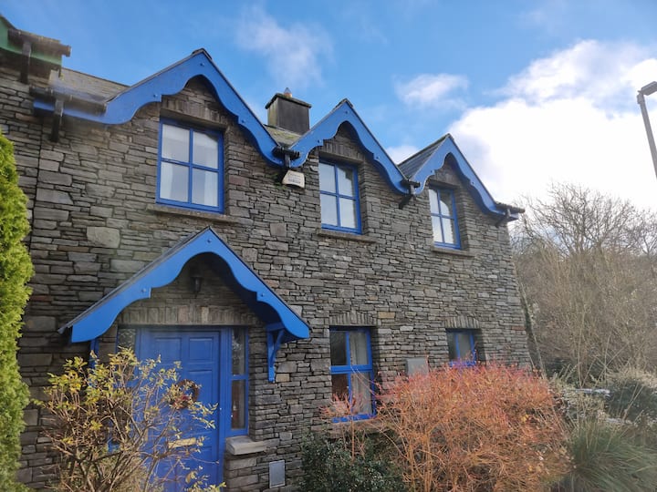 Hut site in DisertHut site · 75 yd
 Burial ground in Garranes (bear By.)Burial ground · 1691 yd
 Dunboy WoodForest · 1.2 mi
 TraneenBeach / strand · 1.2 mi
 GourViewpoint · 1.4 mi
 Heath Mounthouse · 1.4 mi
 Ardnakinna Point LighthouseLighthouse · 1.4 mi
 Castle (in Ruins)Castle, tower house · 1.6 mi
 Siege of Dunboysiege · 1.6 mi
 Ardnakinna West Island LoopWalking route · 2.3 mi
 Burial ground in DerrycreeveenBurial ground · 2.6 mi
 Sheep IslandsIslet · 2.7 mi