
What is recorded here
In a fern-covered E-sloping hollow with gorse-covered rocky ridges to N and S. According to local information, a roughly square area (c. 15m x 15m) was used as a burial ground. Some plain uninscribed upright stone grave-markers were noted among the ferns. The burial ground has not been used in living memory.
The above description is derived from 'The Archaeological Inventory of County Cork. Volume 5' (Dublin: Stationery Office, 2009).
Date of upload: 22 December 2009
A roughly square burial ground, possibly prehistoric, with plain upright stone graves; wider significance not recorded.
The monument record does not grant public access. Check the route and ask the landowner before entering private land.
- What survives
- Recorded monument
Places near here
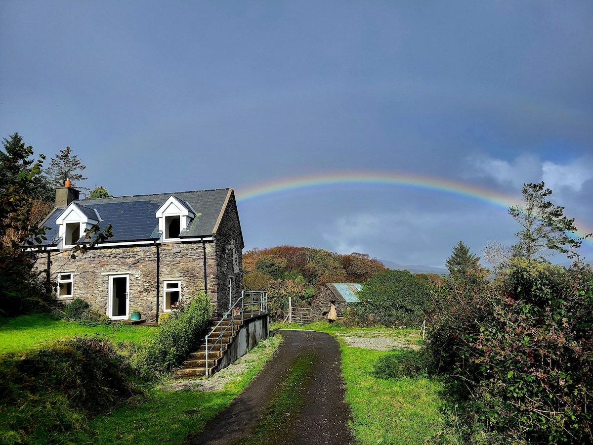 Man-made underground passage in GourMan-made underground passage · 512 yd
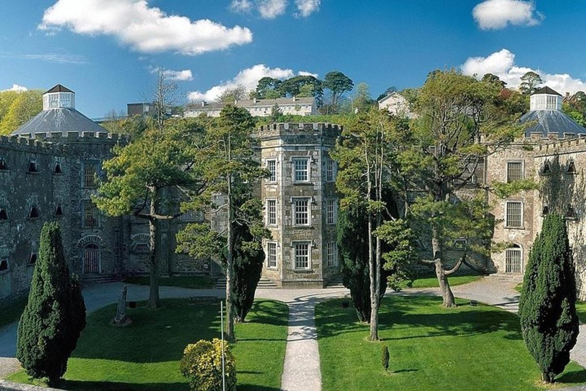 Hut site in GourHut site · 996 yd
 GourViewpoint · 1162 yd
 Heath Mounthouse · 1.7 mi
 Dunboy Castlegate lodge · 1.9 mi
 KnockgourMountain / peak · 1.9 mi
 Dunboy WoodForest · 2.0 mi
 TraneenBeach / strand · 2.0 mi
 Castle (in Ruins)Castle, tower house · 2.3 mi
 Siege of Dunboysiege · 2.3 mi
 Ardnakinna West Island LoopWalking route · 3.1 mi
 Cahermore 2nd pebbled beachBeach / strand · 3.2 mi
Other information
Photo: Credit not shown in the picture search · Rights wording not checked; contact us if this picture should be removed