What is recorded here
No visible fort remains at Diralagh, though a manuscript map from 1805 marked the place as a fort. The land has been changed, or the drawing was wrong, or the fort gave up its shape long before anyone thought to measure it. In a county where ordinary fields hide whole lives, that absence is not a failure. It is an invitation to stop trusting certainty and keep the mystery alive.
Located towards the bottom of the spine of a NW-SE drumlin ridge at a point where there is a slight bend in a farm lane just to the SE. This location is not indicated as an antiquity on any edition of the OS 6-inch map, but it is represented as a fort on a manuscript map of 1805 in NLI (21 F14 (43)). No archaeological feature is visible at ground level in pasture.
The above description is derived from the published 'Archaeological Inventory of County Meath' (Dublin: Stationery Office, 1987). In certain instances the entries have been revised and updated in the light of recent research.
Compiled by: Michael Moore
Date of revision: 3 September 2018
The monument record does not grant public access. Check the route and ask the landowner before entering private land.
- What survives
- Recorded monument
Places near here
 Black FortFairy fort / earthen ringfort · 839 yd
 CastleCastle, tower house · 841 yd
 Font in Newcastle (kells Lower By.)Font · 1184 yd
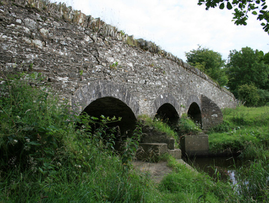 Annesbrook Bridgebridge · 1334 yd
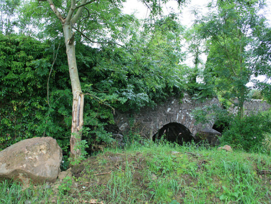 Skearke Bridgebridge · 1.3 mi
 Sit of Old CastleCastle, unclassified · 1.3 mi
 Sally IslandIslet · 2.4 mi
 UghtyneillMountain / peak · 2.5 mi
 Crow IslandIslet · 2.5 mi
 North Mullaghmore WoodWood · 2.6 mi
 South Mullaghmore WoodWood · 2.7 mi
 Cornaglare or PalmiraMountain / peak · 2.8 mi