What is recorded here
Diffreen holds a D-shaped earthen ringfort on a slight south-facing slope in the Glencar valley. A grass-covered bank, four metres wide at the north, still marks the boundary before a field bank and the N16 road cut through the rest. The shape is small enough to walk around in minutes, yet it has survived ploughing, traffic and the patience of centuries.
Situated on a slight S-facing slope on the floor of the Glencar valley. It is visible as a feature on the OSI series of aerial images (2000, 2005) and those of Bing (2013). This is a D-shaped grass and rush-covered area (dims 24m E-W; 20.5m N-S) defined by a grass-covered earthen bank (at N: Wth 4m; int. H 0.3m; ext. H 0.1m) NW-NE, reduced to a scarp (Wth 3m; H 0.2m) SW-NW. It is truncated by a N-S field bank at E and by the road bank of the N16 Sligo to Manorhamilton road at S.
Compiled by: Michael Moore
Date of upload: 3 July, 2017
The monument record does not grant public access. Check the route and ask the landowner before entering private land.
- What survives
- Recorded monument
Places near here
 Cross in DiffreenCross · 349 yd
 Penal Mass station in GortnagarnPenal Mass station · 1206 yd
 CastleCastle, unclassified · 1.2 mi
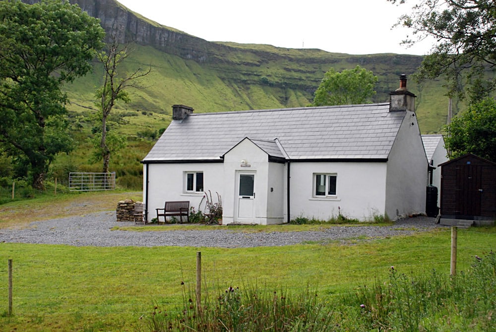 Enclosure in TawnamachughEnclosure · 1.3 mi
 Keelogyboy Mountain NE TopMountain / peak · 1.6 mi
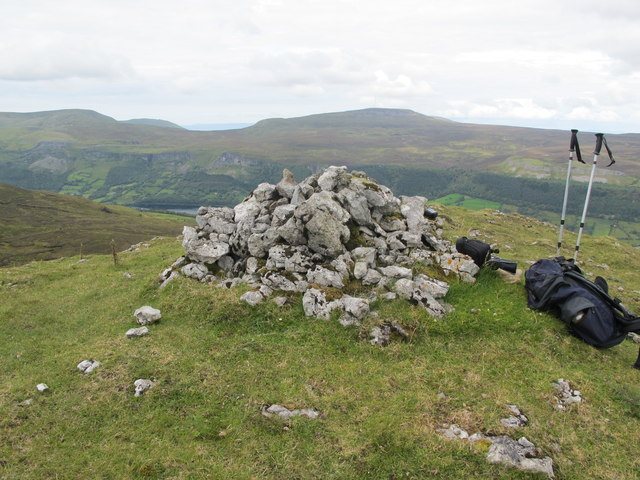 CrockaunsMountain / peak · 1.8 mi
 Glencar IslandIslet · 1.9 mi
 Teampul ShetricPenal Mass station · 1.9 mi
 Glencar WaterfallVisitor information · 2.0 mi
 Memorial Francis FinnMemorial · 2.6 mi
 Doneen WestCliff · 3.0 mi
 Glencar Lough ViewpointViewpoint · 3.1 mi