What is recorded here
Located in flat terrain just NW of the cross erected for the arrival of Pope John Paul in Phoenix Park. This large enigmatic enclosure is shown on the 1837 edition OS 6-inch map as a roughly oval enclosure (Int. L 152m, E-W; Wth 123m N-S) and appears as a ditched feature on aerial photographic coverage (pers. comm. Leo Swan). It is visible on the ground as a curving flat-bottomed fosse (Wth 3.2-4m; D 0.2-0.4m) which encloses a level, oval area. There is a causeway in the NE which opens onto an avenue-like feature extending from the Chief Secretary's house. It is disturbed by a number of later trackways that transect the site. A trough has been placed within the interior. The size, shape and form of this enclosure compares favourably with the landscaped areas in the park and it may be a landscaped feature of 18th-century date. On Rocque's map of County Dublin (1760) it is shown as part of the extensive gardens of the Chief Secretary's house.
Compiled by : Geraldine Stout
Upload date: 30 September 2011
The monument record does not grant public access. Check the route and ask the landowner before entering private land.
- What survives
- Recorded monument
Places near here
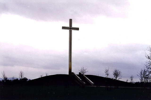 The Papal Crossmonument · 485 yd
 Phoenix ParkPublic park · 498 yd
 Oldtown WoodWood · 514 yd
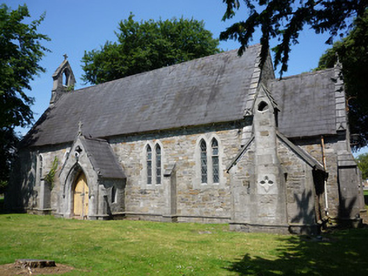 Saint Mary's Hospital Chapelchurch/chapel · 596 yd
 Knockmaree DolmenArchaeological place · 728 yd
 Graveyard in Unknown TownlandGraveyard · 957 yd
 Holy well in Unknown TownlandHoly well · 966 yd
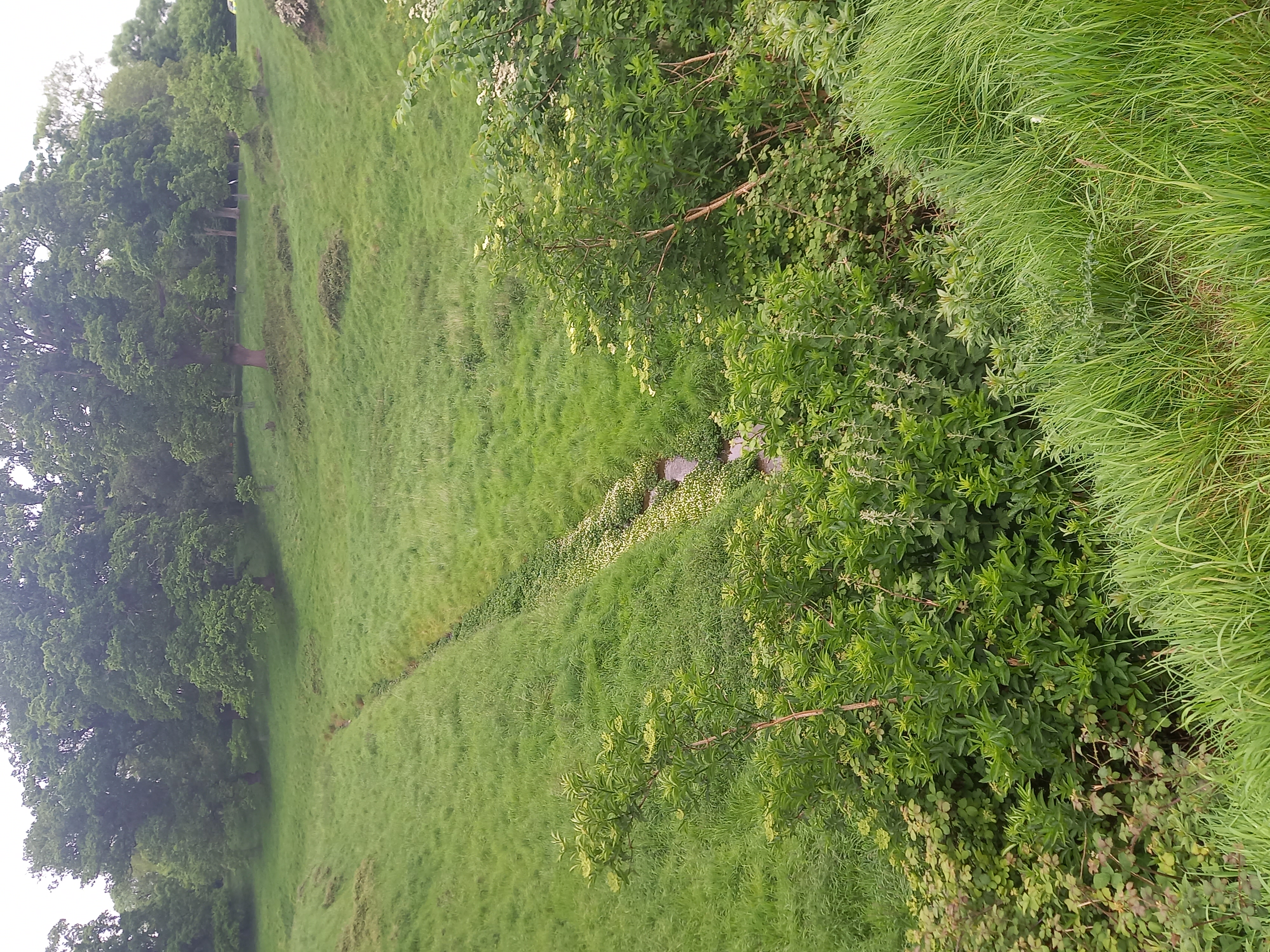 Furry GlenWood · 1258 yd
 Islandbridge LodgeVisitor information · 1.1 mi
 National Famine WayWalking route · 1.1 mi
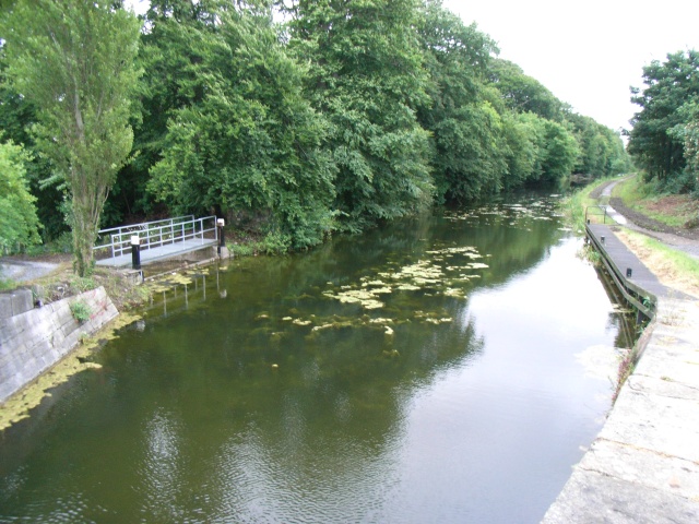 The Royal Canal WayWalking route · 1.1 mi
 Knockmary Lodgeworker's house · 737 yd