What is recorded here
Located on a steep S-facing slope of the River Blackwater valley, with a WNW-ESE section of the stream c. 200m to the S. Archaeological testing (04E1060) by D. Bayley (2005) at Testing Area 9 of Contract 5 of the M3 motorway identified archaeological features in a limited area that was completely excavated (E003185) by S. Rathbone in January 2007 (excavations.ie 2007:1296) as Derver 3. It consisted of a single shallow hearth (dims 1.46m x 1.04m; D 0.08m) with a primary fill of a firm, orange-brown, burnt sandy clay with occasional stones beneath a soft black-grey, sandy clay with occasional stones and frequent charcoal inclusions. No artefacts were recovered and no radiocarbon date is available. (Rathbone and Ginn 2008)
Compiled by: Michael Moore
Date of upload: 3 March 2022
The monument record does not grant public access. Check the route and ask the landowner before entering private land.
- What survives
- Recorded monument
Places near here
 FortsCastle, motte and bailey · 540 yd
 Mote of DerverArchaeological place · 564 yd
 Church in EdenburtChurch · 1001 yd
 IndicatedEnclosure · 1332 yd
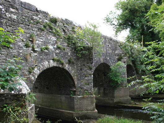 O'Daly's Bridgebridge · 1492 yd
 Woodpole Fox CovertWood · 1687 yd
 Balgree MoteCastle, motte · 1.3 mi
 Feegat ForestWood · 1.3 mi
 MaperathMountain / peak · 2.6 mi
 MountainpoleMountain / peak · 3.7 mi
 Oliver Plunkett memorialMemorial · 4.0 mi
 The Kieran Flanagan WayMemorial · 4.1 mi