What is recorded here
Located on a steep S-facing slope of the River Blackwater valley, with a WNW-ESE section of the stream c. 370m to the S. Archaeological testing (04E1060) by D. Bayley (2005) at Testing Area 9 of Contract 5 of the M3 motorway identified archaeological features that were completely excavated (E003186) by S. Rathbone in January 2007 (excavations.ie 2007:1295) as Derver 2. It consisted of two pits (dims 1.2mx 1.04m; D 0.3m: 0.85m x 0.72m; D 0.07m) that were 8m apart, each filled with dark sandy clay with occasional small stones and frequent charcoal inclusions. A small part of the base of one pit was fire-reddened and they may have been hearths, although no artefacts were recovered and no radiocarbon dates are available. (Rathbone and Ginn 2008)
Compiled by: Michael Moore
Date of upload: 3 March 2022
The monument record does not grant public access. Check the route and ask the landowner before entering private land.
- What survives
- Recorded monument
Places near here
 FortsCastle, motte and bailey · 470 yd
 Mote of DerverArchaeological place · 492 yd
 Church in EdenburtChurch · 702 yd
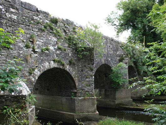 O'Daly's Bridgebridge · 1277 yd
 IndicatedEnclosure · 1551 yd
 Woodpole Fox CovertWood · 1.2 mi
 Feegat ForestWood · 1.3 mi
 Balgree MoteCastle, motte · 1.4 mi
 MaperathMountain / peak · 2.7 mi
 MountainpoleMountain / peak · 3.9 mi
 Oliver Plunkett memorialMemorial · 4.0 mi
 The Kieran Flanagan WayMemorial · 4.2 mi