What is recorded here
In rough, heather-clad hill pasture, on a SE-facing slope, overlooking the valley of the Clydagh River. A roughly D-shaped area (dims. 2.7m N-S) defined by a roughly constructed drystone wall (T 0.6m; H 0.6m) with a straight S side (L 6m). The enclosure is best preserved ENE-W. Large stones are visible in the lower courses of the wall. There is an entrance break at NE. A totally collapsed drystone structure (c. 2.2m E-W; 1.6m N-S; H 0.3m) abuts the S wall externally. The function of this is unclear but it may have been a hut site. There is another hut site (KE076-039001-) c. 50m to the SW and an enclosure (KE076-039004-) c. 50m to the S.
Compiled by: Elizabeth Byrne, Ursula Egan and Sheila Ronan, Archaeological Survey Unit, University College, Cork.
Date of upload: 31 January 2011
The monument record does not grant public access. Check the route and ask the landowner before entering private land.
- What survives
- Recorded monument
Places near here
 SheepfoldEnclosure · 898 yd
 The Paps EastMountain / peak · 1076 yd
 The Paps WestMountain / peak · 1112 yd
 Field boundary in DerrynafinniaField boundary · 1258 yd
 KilnKiln, lime · 1368 yd
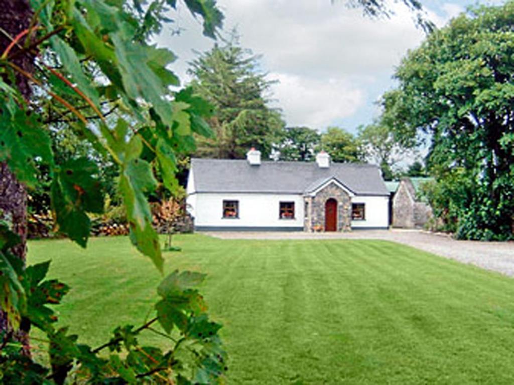 Clydagh LodgeCountry house · 1.1 mi
 BarraduffMemorial · 4.5 mi
 Killaha Castle (in Ruins)Castle, tower house · 5.2 mi
 Cascade WoodWood · 6.0 mi
 Castle (Site of)Castle, unclassified · 6.1 mi
 Nohaval WoodWood · 6.7 mi
 Sli Gaeltacht MuscraiWalking route · 7.3 mi