What is recorded here
No visible fort remains in Derrycassan, only a hidden circular memory beneath ordinary ground. That is not nothing; it is a reminder that visibility and truth are not the same. What is absent from the eye may still be present in the place, waiting for recognition.
On a SSW-facing slope. Depicted as a circular enclosure with the designation 'Fort' on the 1837 ed. of the OS 6-inch map. Extant remains comprise a slightly raised, roughly circular area (diam. c. 25m) defined by an irregular scarp (H 0.6m) and an infilled external fosse (D 0.35m). It has been largely destroyed due to the construction of a WNW-ESE roadway, which divides it into almost equal portions, and by a NNE-SSW field boundary at the SW sector. The original entrance is not recognisable.
Compiled by: Patrick F. O'Donovan
Date of upload: 26 August 2011
The monument record does not grant public access. Check the route and ask the landowner before entering private land.
- What survives
- Recorded monument
Places near here
 Derrycassan WoodsWood · 583 yd
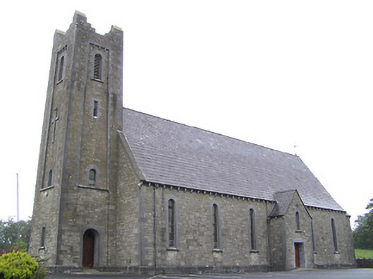 Saint Columba's Catholic Churchchurch/chapel · 1186 yd
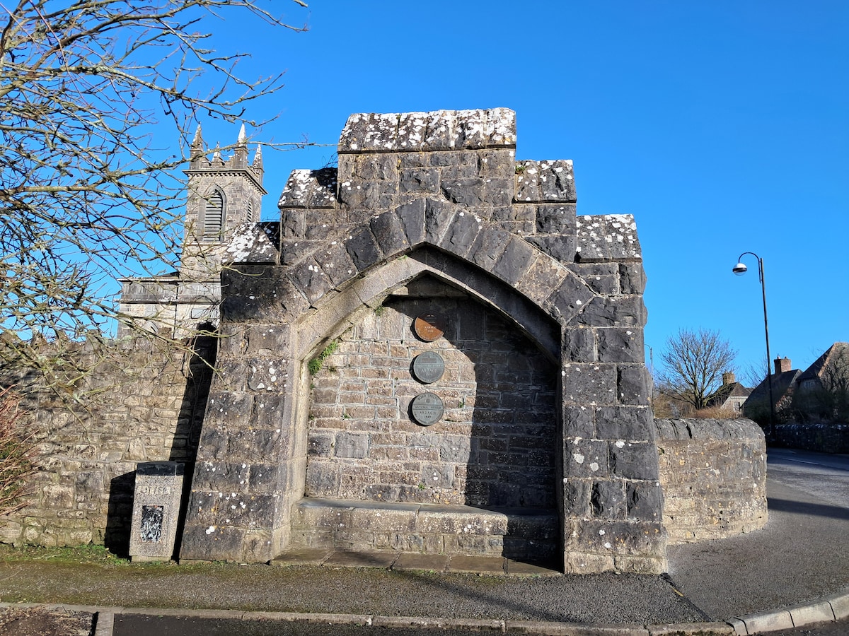 Enclosure in Cloonagh (granard By.)Enclosure · 1499 yd
 St. Columbas R.C. ChurchChurch · 1668 yd
 Dunclá or Black Pigs RaceArchaeological place · 1673 yd
 InchmoreIslet · 1.3 mi
 ToomeMountain / peak · 2.2 mi
 Mulrick WoodlandForest · 2.4 mi
 CornagranMountain / peak · 2.8 mi
 Cloone Ho.Castle, unclassified · 2.9 mi
 Scrabby IslandIslet · 2.9 mi
 BawnBawn · 3.2 mi