What is recorded here
Derryboy holds a post-medieval settlement where human life repeated itself across centuries. The land remembers footsteps, hearths and decisions made under ordinary skies. People lived there long enough to shape the place, even when their names disappeared. What remains is not decoration but continuity, a local chain of presence stretching beyond memory.
The official Northern Ireland record identifies this as Historic Settlement. Recorded period: POST-MED. The official map point was placed at the centre of the recorded archaeological site from the source map reference.
The monument record does not grant public access. Check the route and ask the landowner before entering private land.
- What survives
- Recorded monument
Places near here
 Raffrey Presbyterian ChurchChurch · 1557 yd
 ENCLOSURE in BallywillinENCLOSURE · 1.5 mi
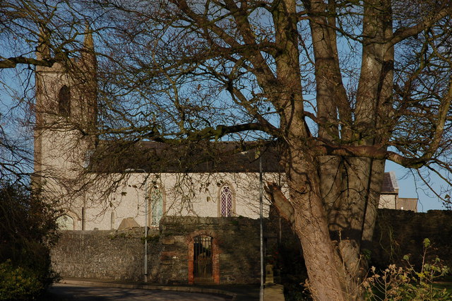 CHURCH (site of) in Killinchy In THE WoodsCHURCH (site of) · 1.6 mi
 Glasswater WoodWood · 2.5 mi
 Former market houseOffice · 3.0 mi
 ShrigleyVisitor information · 3.0 mi
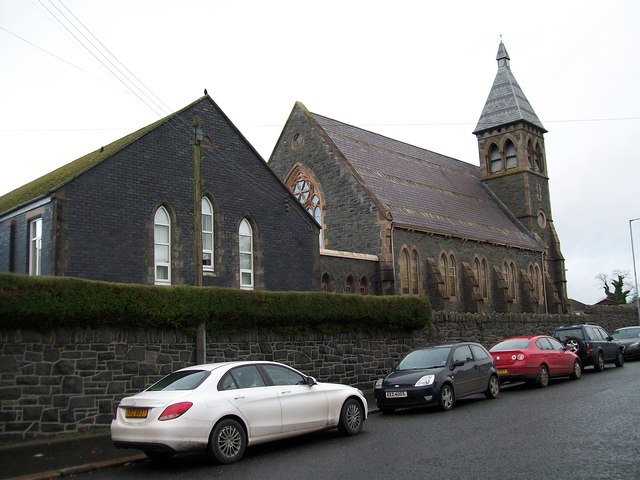 The Square Car ParkVisitor information · 3.0 mi
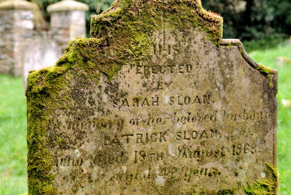 KILLOWEN MEDIEVAL CHURCH (ruined) and GRAVEYARD; with 2 CROSS-CARVED STONES in Corporation (killyleagh)KILLOWEN MEDIEVAL CHURCH (ruined) and GRAVEYARD; with 2 CROSS-CARVED STONES · 3.5 mi
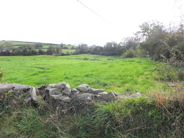 Wallace HillMountain / peak · 3.5 mi
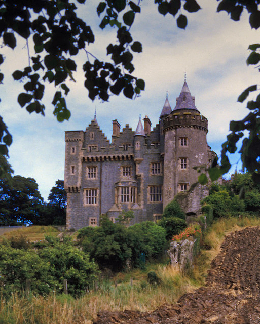 KILLYLEAGH CASTLEKILLYLEAGH CASTLE, multiperiod castle on site of Motte · 3.5 mi
 Island TaggartIslet · 3.6 mi
 CASTLE, possibly Tower-House in RingdufferinCASTLE, possibly Tower-House · 3.6 mi