
What is recorded here
The official Northern Ireland record identifies this as CASTLE, possibly Tower-House. Recorded period: LATE-MED. The official map point was placed at the centre of the recorded archaeological site from the source map reference.
A local castle; wider significance not recorded.
The monument record does not grant public access. Check the route and ask the landowner before entering private land.
- What survives
- Recorded monument
Places near here
 ARCHAEOLOGICALLY SENSITIVE AREA AROUND THE CASTLE in RingdufferinARCHAEOLOGICALLY SENSITIVE AREA AROUND THE CASTLE · 148 yd
 Long PointHeadland · 981 yd
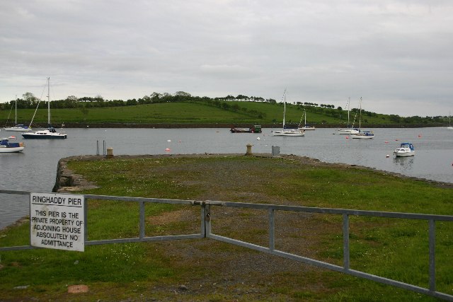 STONE QUAY in RinghaddySTONE QUAY · 1.1 mi
 Island TaggartIslet · 1.2 mi
 CHURCH (in ruins) in RathgormanCHURCH (in ruins) · 1.3 mi
 TOWER-HOUSE: RINGHADDY CASTLE in RinghaddyTOWER-HOUSE: RINGHADDY CASTLE · 1.4 mi
 Dunnyneill IslandsIsland · 1.8 mi
 ShrigleyVisitor information · 2.1 mi
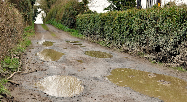 Net Walk & Shore LoneyWalking route · 2.2 mi
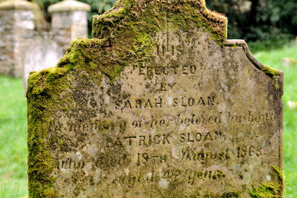 KILLOWEN MEDIEVAL CHURCH (ruined) and GRAVEYARD; with 2 CROSS-CARVED STONES in Corporation (killyleagh)KILLOWEN MEDIEVAL CHURCH (ruined) and GRAVEYARD; with 2 CROSS-CARVED STONES · 2.2 mi
 STONE QUAY in BallymorranSTONE QUAY · 2.4 mi
 Dufferin ArmsPublic House · 2.5 mi
Other information
Photo: Credit not shown in the picture search · Rights wording not checked; contact us if this picture should be removed