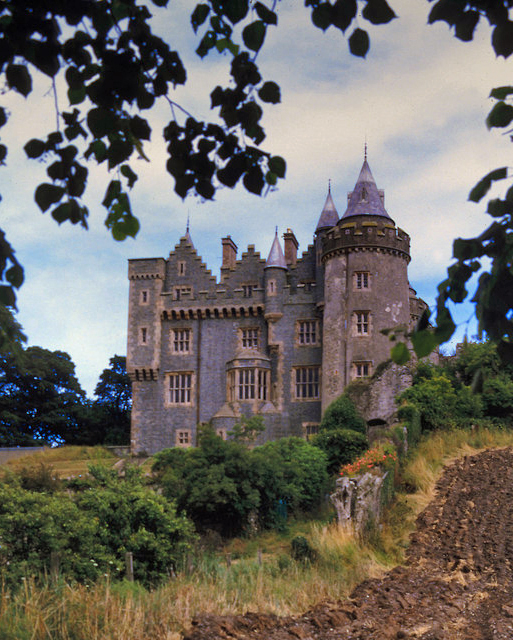
What is recorded here
Killyleagh Castle stacks medieval, post-medieval and modern stone above an older motte, proving the hill has resisted abandonment for centuries. Each era peeled back or added walls rather than erasing what came before. The site works like a living memory, forcing every new owner to acknowledge the hands that shaped the rock before them.
The official Northern Ireland record identifies this as KILLYLEAGH CASTLE - multiperiod castle on site of Motte. Recorded period: POST-MED; LATE-MED; MODERN; MEDIEVAL. The official map point was placed at the centre of the recorded archaeological site from the source map reference.
Killyleagh Castle was originally built by the MacQuillan family in the 13th century and later held by the Stuart family from the 17th century. It is important as a historic seat of the Earls of Bute and for its long association with significant landowning families in County Down.
The monument record does not grant public access. Check the route and ask the landowner before entering private land.
- What survives
- Recorded monument
Places near here
 Dufferin ArmsPublic House · 222 yd
 First Presbyterian ChurchChurch · 288 yd
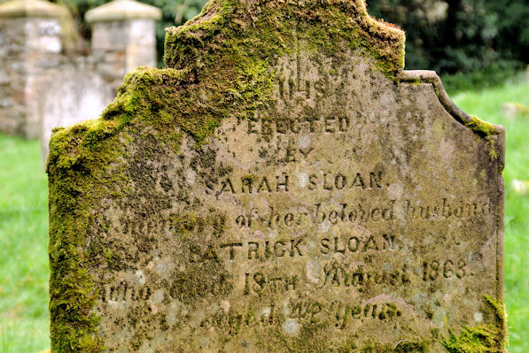 KILLOWEN MEDIEVAL CHURCH (ruined) and GRAVEYARD; with 2 CROSS-CARVED STONES in Corporation (killyleagh)KILLOWEN MEDIEVAL CHURCH (ruined) and GRAVEYARD; with 2 CROSS-CARVED STONES · 304 yd
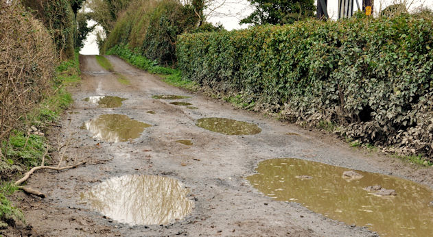 Net Walk & Shore LoneyWalking route · 802 yd
 North PointHeadland · 931 yd
 ShrigleyVisitor information · 1054 yd
 South PointHeadland · 1242 yd
 CASTLE: CASTLE WILLIAM in CorporationCASTLE: CASTLE WILLIAM · 1640 yd
 Island TaggartIslet · 1.3 mi
 Green IslandIslet · 1.4 mi
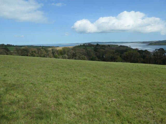 Nut WoodWood · 1.4 mi
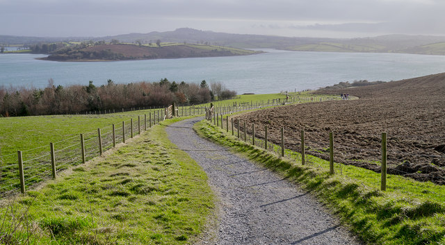 Delamont Country ParkVisitor information · 1.6 mi
Other information
Photo: Shane Killen · CC BY-SA 2.0