What is recorded here
From OpenStreetMap (© OpenStreetMap contributors) n3354576263
Places near here
Photo credits
- Maker not stated on source page, ca.pinterest.com
- Eric Jones, Wikimedia Commons · CC BY-SA 2.0
- Maker not stated on source page, www.bridgepark.com
- Rossographer, Geograph · CC BY-SA 2.0
- Maker not stated on source page, pt.pinterest.com
- Albert Bridge, Geograph · CC BY-SA 2.0
- Maker not stated on source page, www.ccgrass.com
- Maker not stated on source page, www.youtube.com
- Maker not stated on source page, www.tripadvisor.ie
- Albert Bridge, Geograph · Creative Commons Attribution-ShareAlike 2.0
- Christine Johnstone, Geograph · CC BY-SA 2.0
 Cuan BeachPicnic place · 77 yd
Explorer Tom Cuan Beach would spend its lotto win on installing a very expensive fountain that only works when nobody is looking.…
 Second Killyleagh Presbyterian ChurchChurch · 770 yd
Explorer Tom Second Killyleagh Presbyterian Church in County Down would cope brilliantly on a reality show, probably winning the…
 Killyleagh Parish ChurchChurch · 772 yd
Explorer Tom Killyleagh Parish Church is keeping its secrets tighter than a drum, likely out of pure stubbornness. Locals swear if…
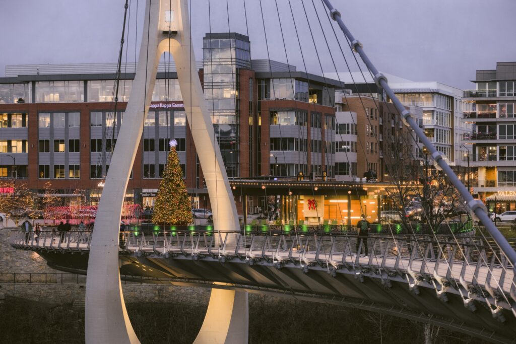 Bridge Centre Play ParkChildren's playground · 1076 yd
Explorer Tom Bridge Centre Play Park has a ghost that's too lazy to haunt it properly. He just sits on the slide and complains about…
 Green IslandIslet · 1228 yd
Explorer Tom Green Island in County Down refuses to fall down because it thinks gravity is just a suggestion that applies only to…
 Holy well: st. anne's well in CorporationHoly Well: St. Anne's Well · 1231 yd
Explorer Tom Holy well: st. anne's well in Corporation is dreaming big with that lotto money. St. Anne would probably buy a massive…
 Net Walk & Shore LoneyWalking route · 1348 yd
Explorer Tom Net Walk & Shore Loney in County Down is locked in a bitter feud with the rain, who keeps showing up uninvited to ruin…
 Wolfe Tone Park, Wolfe Tone GAA, KillyleaghGAA ground · 1362 yd
 A.p. site: natural feature in Green Island (nearest Mainland Townland Corporation Killyleagh)A.p. Site: Natural Feature · 1435 yd
Explorer Tom A.p. site: natural feature in Green Island is basically a rock that got confused and thought it was a castle. It’s been…
 Killowen old churchGraveyard · 1477 yd
Explorer Tom Killowen old church has a group of seagulls that constantly complain about how nobody visits anymore, squawking from…
 Killowen medieval church (ruined) and graveyard; with 2 cross-carved stones in Corporation (killyleagh)Killowen Medieval Church (ruined) and Graveyard · 1479 yd
Explorer Tom Killowen medieval church in Corporation has two cross-carved stones that look like they’re doing yoga poses. The…
 Nut WoodWood · 1.1 mi
Explorer Tom Nut Wood in County Down does absolutely nothing when nobody’s looking except slowly rotting itself into a very…
More cliffs, bays and coast in County Down · All of County Down

What do you know about this place?Tap to add a comment or ask a question