What is recorded here
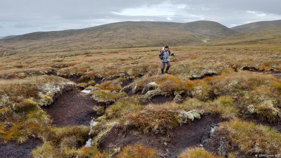
Half a kilometre from the nearest road, a forgotten footbridge still holds its shape inside the peat. Two thin layers of brushwood, separated by a palm of black soil, span a gap no wider than a man’s outstretched arms. The wood is small, worn and angled across the marsh like a ribbon dropped in a hurry. In 804 BC someone crossed that gap, perhaps carrying milk, fire or a child. The peat closed over the bridge and kept it alive.
Originally recorded as a compact, narrow band (exposed L 4m; Wth 3.8m) of small pieces of brushwood (diam. 0.025-0.03m) exposed on the field surface and being milled. There were six pieces of brushwood in all, orientated WNW-ESE (Dunne 1999, 36, 99DBSE029A). Excavation in 2001 revealed that the remains were mostly orientated NW-SE and composed of two layers, separated by a layer of peat (T 0.12m). The upper layer had just four pieces of longitudinal brushwood, one transverse brushwood and three small pegs. The second layer was composed of longitudinal brushwood with two pieces of transverse brushwood at one end. The remains yielded a date of 804 BC (Whitaker 2009, 28).
Compiled by: Mary Tunney based on data supplied by Jane Whitaker, Archaeological Development Services.
Date of upload: 26 August 2011
The monument record does not grant public access. Check the route and ask the landowner before entering private land.
- What survives
- Recorded monument
Places near here
 PlatformPlatform, peatland · 118 yd
 StructureStructure, peatland · 213 yd
 RoadRoad, class 2 togher · 245 yd
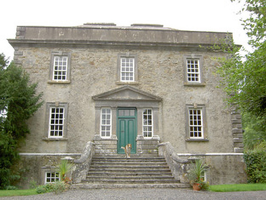 Ledwithstown Househouse · 1.6 mi
 Corlea Trackway Interpretative CentreHeritage attraction · 1.8 mi
 Corlea Bog Walk Blue LoopWalking route · 1.9 mi
 Corlea Bog Walk Canal BranchWalking route · 1.9 mi
 Caltragh CastleCastle, unclassified · 2.9 mi
 CastleBawn · 3.5 mi
 Leveret IslandIslet · 3.5 mi
 Culnagore WoodForest · 3.7 mi
 Bush IslandIslet · 3.8 mi
Other information
Photo: Credit not shown in the picture search · Rights wording not checked; contact us if this picture should be removed