What is recorded here
Derreenacahill holds a tapering stone near Coombane Hill, leaning south in rough peaty pasture. Its irregular body and visible packing-stone suggest human hands shaped the site, though time has blurred the exact purpose. The stone still stands at the hill’s base, waiting for people to remember why it was set free of the earth.
In rough peaty pasture, on a level area, near the base of Coombane Hill. This standing stone (1m x 0.4m; H 1.2m) is irregular in plan and section and is orientated E-W. It tapers towards the top and leans gently to the S. A packing-stone is visible on its S side.
The above description is derived from the published 'Archaeological Inventory of County Kerry. Volume I: South-West Kerry' (Dublin: Stationery Office, 2009). In certain instances the entries have been revised and updated in the light of recent research.
Date of upload: 30 May 2011
The monument record does not grant public access. Check the route and ask the landowner before entering private land.
- What survives
- Recorded monument
Places near here
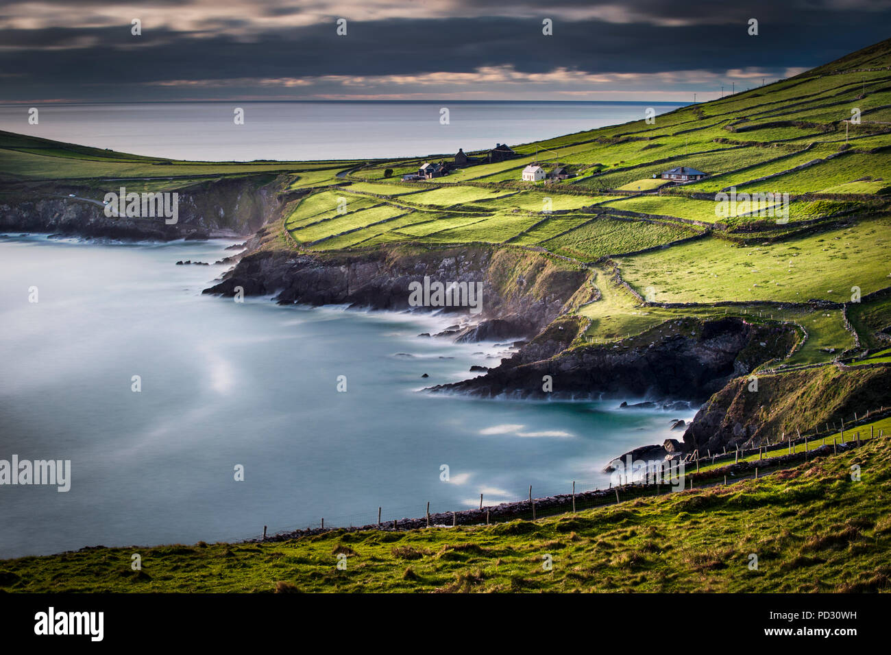 Enclosure in DerreenacahillEnclosure · 596 yd
 SheepfoldEnclosure · 673 yd
 Lead Mine (Disused).Mine, lead · 1.3 mi
 Shanagarry Castle (Site of)Castle, unclassified · 1.4 mi
 CoombaneMountain / peak · 1.4 mi
 Kilgortaree Ho.Country house · 2.0 mi
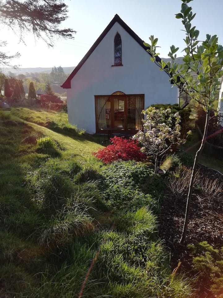 KnockbrackMountain / peak · 2.0 mi
 CastleCastle, unclassified · 2.5 mi
 European YewEuropean Yew · 2.8 mi
 The Lodge WoodWood · 3.1 mi
 Mill Cove Gallery / John Brennan StudioGallery · 3.3 mi
 Kenmare Tourist Information OfficeVisitor information · 3.3 mi