What is recorded here
Depicted as a large embanked enclosure (dims c. 90m NE-SW; c. 70m NW-SE) on the 1837 and 1929 eds of the OS 6-inch map, and situated towards the top of a NE-facing slope. Described as a very large area defined by an earthen bank and fosse (Gannon 1972). It is not now visible at ground level in reclaimed pasture but it can be seen on OSI images (1995, 2000) and the digitalglobe images.
Compiled by: Michael Moore
Date of upload: 24 August 2010
The monument record does not grant public access. Check the route and ask the landowner before entering private land.
- What survives
- Recorded monument
Places near here
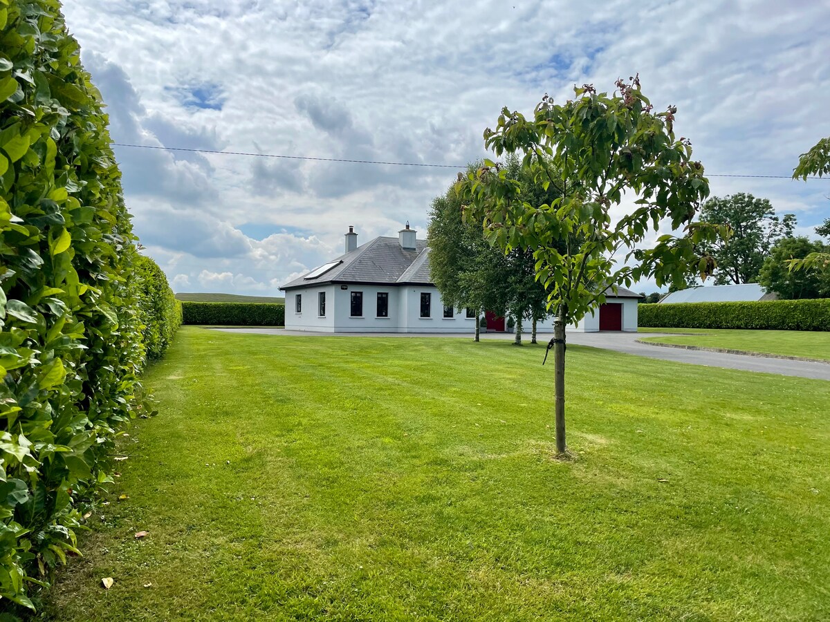 Embanked enclosureFairy fort / earthen ringfort · 616 yd
 IndicatedFairy fort / stone ringfort · 1549 yd
 Fortview Househouse · 1.0 mi
 CastleCastle, unclassified · 1.6 mi
 Derrane AbbeyReligious house, Augustinian, of Arrouaise nuns · 1.8 mi
 Roscommon CastleCastle · 2.5 mi
 Leitrim CastleCastle, unclassified · 3.3 mi
 Big IslandForest · 4.2 mi
 Little IslandForest · 4.3 mi
 Slieve BawnMountain / peak · 5.9 mi
 Sally IslandIslet · 8.9 mi
 Dogs IslandIslet · 9.2 mi