What is recorded here
No amount of thinking will call out the hidden driver. Force the capture owner to show in the visible record and the consent of every participant becomes measurable instead of assumed.
Situated on a rise in a low-lying landscape. This is a subcircular grass-covered area (dims 33m NW-SE; 28m NE-SW) that has been ploughed. It is defined by a slight earthen bank (at W: Wth of base 2.4m; int. H 0.3m; ext. H 1.9m) and hedge W-N that is largely reduced to a scarp with traces of an external stone facing and hedge. There is no visible fosse or identifiable original entrance and a lane skirts the base of the scarp NW-E.
The above description is derived from the published 'Archaeological Inventory of County Monaghan' (Dublin: Stationery Office, 1986). In certain instances the entries have been revised and updated in the light of recent research.
Revised by: Michael Moore
Date of revision: 8 May 2018
The monument record does not grant public access. Check the route and ask the landowner before entering private land.
- What survives
- Recorded monument
Places near here
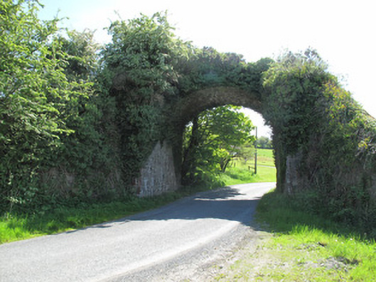 bridgebridge · 348 yd
 Saint Laebhan's Church (Killeevan)church/chapel · 446 yd
 Grave YardGraveyard · 620 yd
 Crannog in Drumcaw (dartree By.)Crannog · 1062 yd
 Common LimeCommon Lime · 1752 yd
 KillycoonaghWood · 1.2 mi
 Saint John's WellSpring · 1.3 mi
 Roosky Castle (Site of)Castle, ringwork · 1.8 mi
 Lisarrilly HillMountain / peak · 2.1 mi
 Jaundice WellSpring · 2.6 mi
 Tomb HillMountain / peak · 2.9 mi
 Abbey RuinsHeritage attraction · 3.2 mi