What is recorded here
Just below top of hill on a W-facing slope of land in upland area with good extensive views in all directions. Ringfort (TS049-036----) visible 600m to W. Poorly preserved monument the interior of which has been used as a dumping area for building rubble and agricultural equipment and field clearance debris. This dumping makes detailed examination or proper classification impossible. Monument now situated on reclaimed re-seeded grassland but originally located on wet marshy land in upland area. Fields to N and W have been reclaimed and field boundaries which immediately enclosed the monument to N and W have been levelled. Fields to E and S have not been reclaimed and field boundaries are intact. Monument consists of a circular area (int. diam. 15m N-S; 20m NE-SW; overall diam. 25m N-S ) enclosed by an earth and stone bank (base Wth. 4m; top Wth. 1.45m; int. H 0.9m; ext. H 0.8m) and wet outer fosse (Wth 3m; ext. D 0.4m) visible at S only. Large gap (Wth 10m) in bank at N which has been inserted to provide access for dumping. Possible remains of a circular mound in centre of monument and indications of an inner fosse would suggest a classification of ring-barrow. Monument depicted as a possible ringbarrow on latest ed. OS 6-inch map. Overall dimensions and location would support classification of monument as a possible ring-barrow. Evidence of cattle poaching to external face of bank at W side. Wet outer fosse has been filled in from W to N probably when field was reclaimed.
Compiled by: Jean Farrelly
Date of upload: 26 August 2011
A Neolithic passage tomb; poorly preserved with interior repurposed. Its location on a prominent upland slope suggests ritual or ceremonial significance.
The monument record does not grant public access. Check the route and ask the landowner before entering private land.
- What survives
- Recorded monument
Places near here
 IndicatedFairy fort / earthen ringfort · 663 yd
 Lisnamrock Collierychimney · 1332 yd
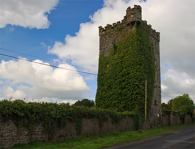 Site of Williamstown CastleCastle, unclassified · 1354 yd
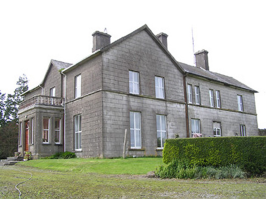 Coalbrook Housecountry house · 1609 yd
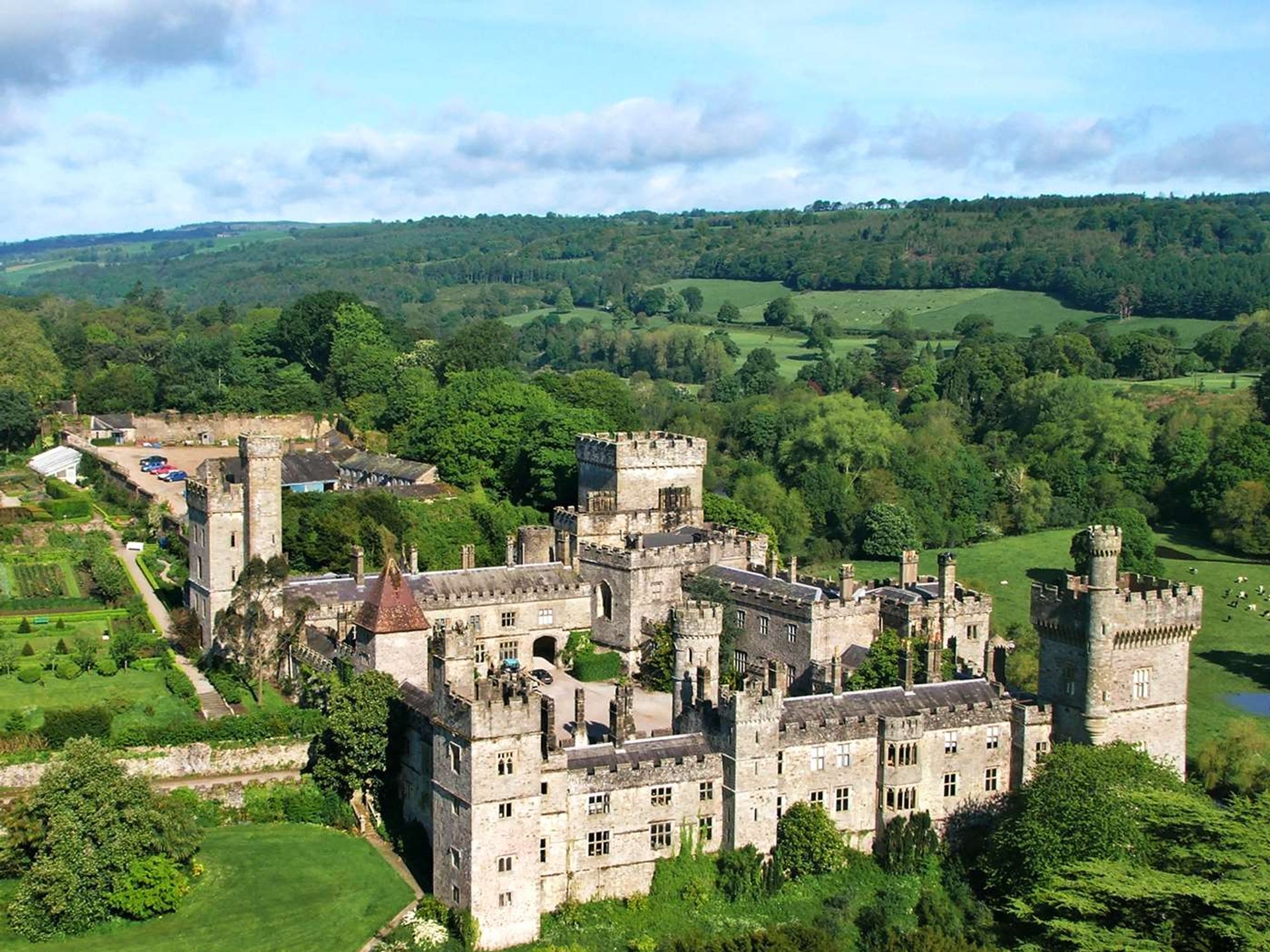 Site of Lisnamrock CastleCastle, unclassified · 1696 yd
 Druids AltarMegalithic structure · 1.7 mi
 Bregaun HillMountain / peak · 2.1 mi
 Waterloo HillMountain / peak · 2.5 mi
 Rapefield WoodForest · 3.8 mi
 Deerpark WoodWood · 4.1 mi
 Kilcooly AbbeyHeritage attraction · 4.1 mi
 Slieveardagh Heritage CentreVisitor information · 4.5 mi