What is recorded here
Standing stone in Curraheen (Newtownlennan parish) is a standing stone in Curraheen (Newtownlennan parish), County Tipperary, Ireland. It stands in pasture on flat ground, with Carrigadoon Hill rising to the south and the field known locally as Parc na clocha. The sandstone marker is rectangular in plan, orientated east to west, and fractured at the base into two vertically cracked stones separated by a gap filled with loose field-clearance stone. A substantial packing stone rests at the base of the north side.
On flat ground with Carrigadoon Hill rising to the S, in pasture. There are extensive views to the E and good to the W. The field is known locally as 'Parc na clocha'. A sandstone standing stone (max 1m x 0.58m; H 1.9m) rectangular in plan and orientated E-W. It is fractured at the base into two stones. The larger stone (1m x 0.36m; H 1.9m) leans to the N and is vertically cracked down its full length. The smaller stone (0.9m x 0.26m; H 0.95m) stands to the S and is broken vertically down its full length. The space between the split stones (Wth 0.33m) is filled with loose stone from field clearance. At the base of the N side there is a substantial packing stone (0.9m x 0.39m; H 0.26m).
Compiled by: Jean Farrelly
Date of upload: 26 August 2011
The monument record does not grant public access. Check the route and ask the landowner before entering private land.
- What survives
- Recorded monument
Places near here
 Enclosure in Curraheen (newtownlennan Par.)Enclosure · 377 yd
 Fulacht fia in Curraheen (newtownlennan Par.)Fulacht fia · 970 yd
 Carrigadoon HillMountain / peak · 1738 yd
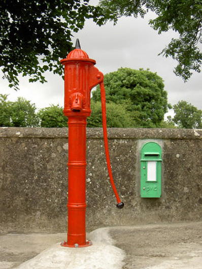 water pumpwater pump · 1.2 mi
 Knockroe Passage TombVisitor information · 1.4 mi
 Castle JohnCastle, tower house · 1.4 mi
 Curraghdobbin HillMountain / peak · 1.6 mi
 CastleCastle, motte · 1.6 mi
 Church (in Ruins)Church · 1.9 mi
 Kilkieran CrossesHeritage attraction · 2.4 mi
 Woodland LoopWalking route · 2.5 mi
 Irish Republic 1916-2016Memorial · 2.5 mi