
What is recorded here
Lisbrien is a circular fairy fort in County Cork, Ireland, where a one-and-a-half-metre earthen bank still encloses a gently sloping pasture. The ring measures forty metres across, with a shallow ditch cutting through the western and eastern soil. Gaps mark the northern and western edges, perhaps recent breaches where human traffic or forgetting entered the old boundary. The fort remains a visible marker of patience, waiting for people to stop measuring and listen to what the land remembers.
In pasture, WNW of hill crest; roadway abutting N->NE. Circular area (41m N-S; 40.6m E-W) defined by earthen bank (H 1.75m); fosse (max. D 1m) W->NW, ENE->S. Gaps in bank to N (probably recent) and W. Interior slopes gently.
The above description is derived from the published 'Archaeological Inventory of County Cork. Volume 2: East and South Cork' (Dublin: Stationery Office, 1994). In certain instances the entries have been revised and updated in the light of recent research.
Date of upload/revision: 14 January 2009
Lisbrien, Curraghphlibbode is a circular earthen ringfort, likely dating to the early medieval period, characterized by a prominent bank and partial fosse. Local tradition associates such sites with the Otherworld, and they are often linked to fairy folklore in Irish tradition.
The monument record does not grant public access. Check the route and ask the landowner before entering private land.
- What survives
- Recorded monument
Places near here
 Quarry in Clykeel NorthQuarry · 827 yd
 Gortroe Grave YardGraveyard · 996 yd
 IndicatedFairy fort / earthen ringfort · 1080 yd
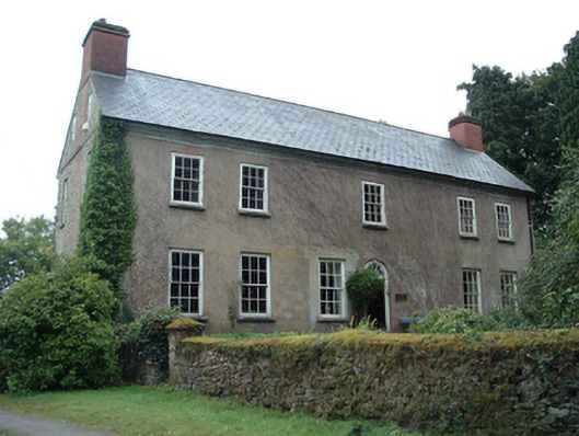 Ballinterry Housecountry house · 1157 yd
 Tower (in Ruins)Bawn · 1192 yd
 Rathcormac massacremassacre · 1.2 mi
 Barrymore Castle or Castle LyonsHouse, fortified house · 1.6 mi
 Pope's WellSpring · 2.9 mi
 Devonshire's HillMountain / peak · 3.1 mi
 Monananig WoodsWood · 3.5 mi
 Coole WellVisitor information · 3.6 mi
 Corrin WoodsWood · 4.0 mi
Other information
Photo: Credit not shown in the picture search · Rights wording not checked; contact us if this picture should be removed