
What is recorded here
Listed as a ‘quarry’ in the SMR (1988) and the RMP (1998). Not depicted on the 1st edition OS 6-inch map (1842). The evidence is not sufficient to warrant accepting this as the location of an archaeological monument.
Compiled by: Matt Kelleher
Date of upload: 14 January 2015
The monument record does not grant public access. Check the route and ask the landowner before entering private land.
- What survives
- Recorded monument
Places near here
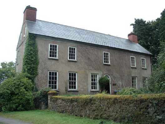 Ballinterry Housecountry house · 344 yd
 Tower (in Ruins)Bawn · 377 yd
 Ballinterry Bridgebridge · 483 yd
 Earthwork in BallinterryEarthwork · 668 yd
 Gortroe Grave YardGraveyard · 670 yd
 Rathcormac massacremassacre · 1.2 mi
 Barrymore Castle or Castle LyonsHouse, fortified house · 1.7 mi
 Devonshire's HillMountain / peak · 3.0 mi
 Monananig WoodsWood · 3.5 mi
 Corrin WoodsWood · 3.7 mi
 Cappagh XViewpoint · 4.9 mi
 Graveyard in FermoyGraveyard · 5.0 mi
Other information
Photo: Credit not shown in the picture search · Rights wording not checked; contact us if this picture should be removed