What is recorded here
In low-lying terrain on the E bank of the Clasha River. The fields along the edge of the river bank have been reclaimed and the river has been canalised. According to the SMR file there were eleven fulachta fiadha along this stretch of river which were identified by Will Forbes. There are numerous low amorphous mounds (ranging in diam. From 17m , 12.5m; H 0.2 to 51.6m x 32.2m; H 0.68) which may be flattened fulachta fiadha but may also been natural features. None are classic fulachta fia with evidence of a trough.
Compiled by: Jean Farrelly
Date of revised upload: 7 November 2014
The monument record does not grant public access. Check the route and ask the landowner before entering private land.
- What survives
- Recorded monument
Places near here
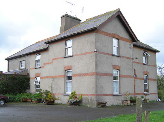 Ballyneill Castlehouse · 687 yd
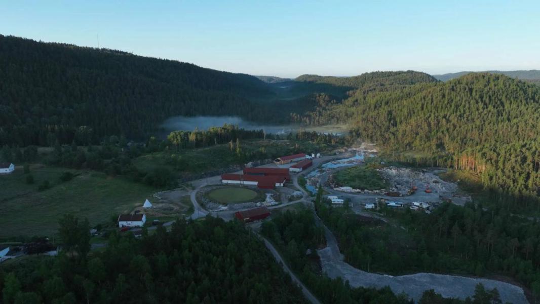 Enclosure in LissadoberEnclosure · 1073 yd
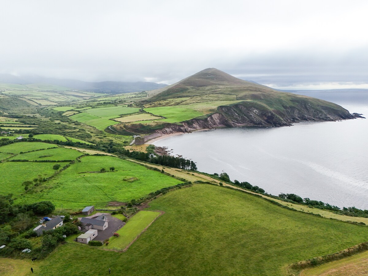 IndicatedEnclosure · 1289 yd
 Thomas KielyMemorial · 1619 yd
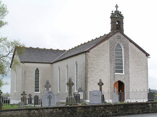 Saint Mary's Catholic Churchchurch/chapel · 1622 yd
 Wild CherryWild Cherry · 1.2 mi
 Curraghdobbin HillMountain / peak · 1.4 mi
 Bawn in KilcashBawn · 2.1 mi
 Kilcash WoodForest · 2.1 mi
 Kilcash CastleCastle · 2.5 mi
 Carrigaloe RockNamed rock · 2.8 mi
 Carrigadoon HillMountain / peak · 2.9 mi