What is recorded here
On a S-facing slope in gently undulating terrain, under grass. Identified by Will Forbes. This monument is not visible at ground level.
Compiled by: Jean Farrelly
Date of revised upload: 6 November 2014
The monument record does not grant public access. Check the route and ask the landowner before entering private land.
- What survives
- Recorded monument
Places near here
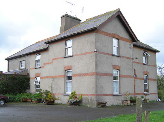 Ballyneill Castlehouse · 551 yd
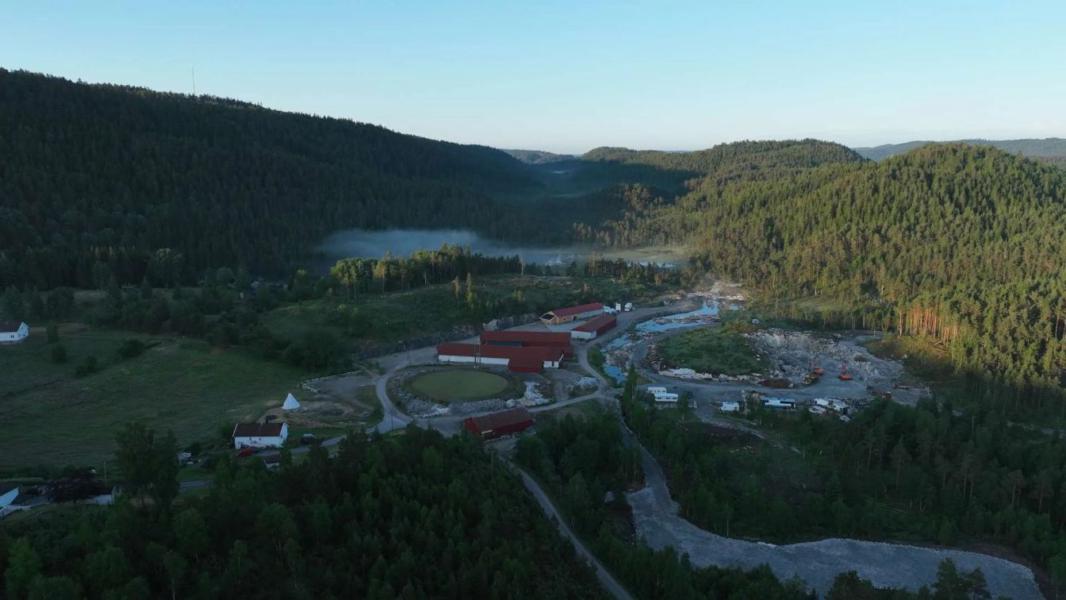 Enclosure in LissadoberEnclosure · 1234 yd
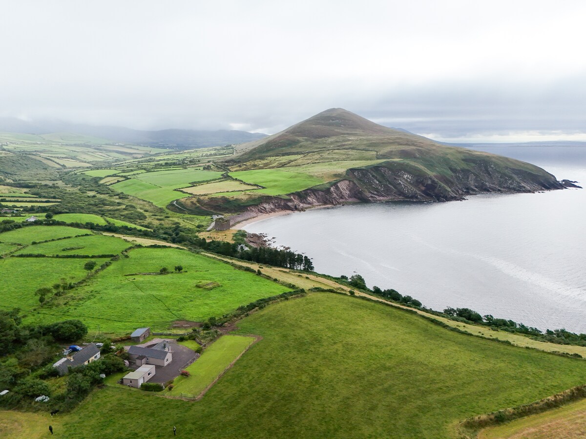 IndicatedEnclosure · 1506 yd
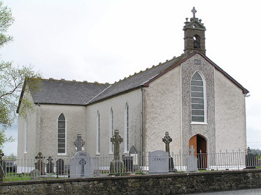 Saint Mary's Catholic Churchchurch/chapel · 1587 yd
 Thomas KielyMemorial · 1594 yd
 Wild CherryWild Cherry · 1.3 mi
 Curraghdobbin HillMountain / peak · 1.4 mi
 Bawn in KilcashBawn · 2.2 mi
 Kilcash WoodForest · 2.3 mi
 Kilcash CastleCastle · 2.7 mi
 Carrigadoon HillMountain / peak · 2.8 mi
 Carrigaloe RockNamed rock · 2.9 mi