What is recorded here
Visible on an aerial photograph (CUCAP BDU 21) as the cropmark of a fosse enclosing a small circular area (est max diam. c. 11m). No visible surface traces survive.
Compiled by: Gearóid Conroy
Date of upload: 10 June 2011
A Neolithic barrow, dating to the 4th–3rd millennium BCE, likely representing an early burial monument; its significance lies in its contribution to understanding prehistoric funerary practices in the Curragh region.
The monument record does not grant public access. Check the route and ask the landowner before entering private land.
- What survives
- Recorded monument
Places near here
 Enclosure in Curragh (kildare Ed)Enclosure · 88 yd
 The CurraghEarthwork · 581 yd
 bridgebridge · 1528 yd
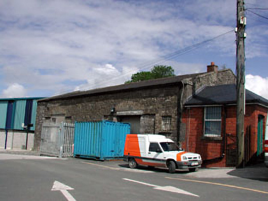 Kildare Railway Stationstore/warehouse · 1691 yd
 Castle in ruinsCastle, Anglo-Norman masonry castle · 1.3 mi
 CastleCastle, motte · 1.3 mi
 Saint Fiachra's GardenHeritage attraction · 1.8 mi
 Bee-bee treeBee-bee tree · 1.8 mi
 Horse MuseumMuseum · 1.9 mi
 Dawn RedwoodDawn Redwood · 1.9 mi
 Bithia Mary CrokerMemorial · 5.6 mi
 Grand Canal WayVisitor information · 7.4 mi