What is recorded here
In rough pasture, on an E-facing slope, to the rear of a farm building. Three cupmarks (max. diam. 0.05m; max. D 0.02m) are visible on the almost flat upper surface of an earth-fast slab (2.6m E-W; 2.2m N-S; H 0.3m at its NE corner) which protrudes just above ground level.
The above description is derived from 'The Archaeological Inventory of County Cork. Volume 5' (Dublin: Stationery Office, 2009).
Date of upload: 22 December 2009
Likely dating to the Neolithic or Bronze Age, the cupmarked stone in Arduslough may have held ritual or ceremonial significance, possibly linked to water or fertility symbolism. Such stones are often associated with wider ritual landscapes, though local folklore or specific use remains unrecorded.
The monument record does not grant public access. Check the route and ask the landowner before entering private land.
- What survives
- Recorded monument
Places near here
 Rock scribing in ArdusloughRock scribing · 147 yd
 Enclosure in ArdusloughEnclosure · 230 yd
 Church in Kilbarry (carbery West (w.d) By.)Church · 726 yd
 Church in CrookhavenChurch · 1045 yd
 Castle (Site of)Castle, unclassified · 1107 yd
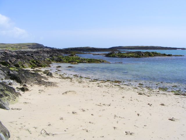 Galley Cove BeachBeach / strand · 1398 yd
 Creamery PlatformMemorial · 1.2 mi
 Chimney CoveBeach / strand · 1.3 mi
 Barley CoveHeritage attraction · 1.6 mi
 KnockboyMountain / peak · 2.5 mi
 KnocknamaddreeMountain / peak · 2.5 mi
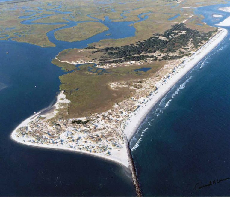 Bird IslandIslet · 3.1 mi