
What is recorded here
Overlooking Crook Haven. Sandstone boulder (H 0.93m; max. Wth 0.3m), part of field fence running N-S, with "ogham-like" grooves on N surface (UCC). The grooves do not use the edge of the stone as a stem but run down face. Length of groove c. 0.06m; cut c. 5mm deep. Some X and Y patterns can be made out.
The above description is derived from the published 'Archaeological Inventory of County Cork. Volume 1: West Cork' (Dublin: Stationery Office, 1992). In certain instances the entries have been revised and updated in the light of recent research.
Date of upload/revision: 14 January 2009
The monument record does not grant public access. Check the route and ask the landowner before entering private land.
- What survives
- Recorded monument
Places near here
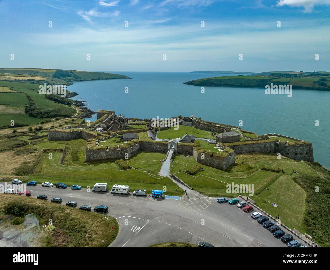 Enclosure in ArdusloughEnclosure · 106 yd
 Wedge tomb in ArdusloughWedge tomb · 256 yd
 Church in Kilbarry (carbery West (w.d) By.)Church · 771 yd
 Church in CrookhavenChurch · 1163 yd
 Castle (Site of)Castle, unclassified · 1247 yd
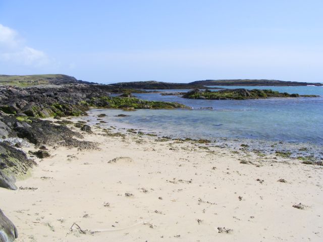 Galley Cove BeachBeach / strand · 1399 yd
 Creamery PlatformMemorial · 1.1 mi
 Chimney CoveBeach / strand · 1.3 mi
 Barley CoveHeritage attraction · 1.6 mi
 KnockboyMountain / peak · 2.4 mi
 KnocknamaddreeMountain / peak · 2.5 mi
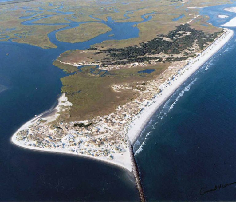 Bird IslandIslet · 3.1 mi
Other information
Photo: Credit not shown in the picture search · Rights wording not checked; contact us if this picture should be removed