What is recorded here
In pasture, spanning the width of a narrow rectangular modern field, located at the break of slope on the NE-facing side of a NW–SE ridge, providing extensive views N–NE towards a stream/drain located 180m to NE.
Slightly raised, broadly oval area (28.4m N–S; 34.6m E-W) defined by a levelled bank/scarp. The scarp remains relatively well defined at W–ESE, except for a short section at N-NNE which is partly dug away. It is barely discernible or absent along a stretch (L 11m) at SE−S, and this may have been the location of an original entrance. The scarp is reduced to a low, grass-covered rise or undulation at SSW–W, with a particularly low section (L 8m) at WSW.
The interior has a slight slope from centre down to NE, and according to local information, has a Man-made underground passage (MA073-027001-).
Compiled by: Jane O’Shaughnessy
Date of upload: 4 June 2021
The monument record does not grant public access. Check the route and ask the landowner before entering private land.
- What survives
- Recorded monument
Places near here
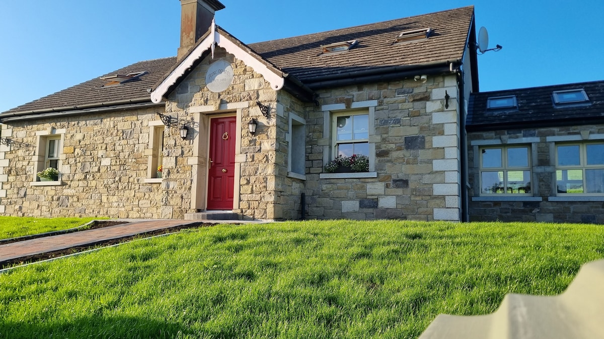 Enclosure in KilcashelEnclosure · 589 yd
 CashelFairy fort / stone ringfort · 827 yd
 Catholic Church of the Immaculate Conceptionchurch/chapel · 1421 yd
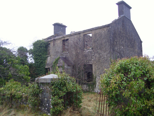 Kilmovee Garda Síochána Stationgarda station/constabulary barracks · 1.3 mi
 Crunaun Castle (in ruins)Castle, unclassified · 3.1 mi
 Casatle (ruins)Castle, unclassified · 3.8 mi
 Bockagh HillMountain / peak · 5.2 mi
 East Mayo Brigade MonumentMemorial · 6.9 mi
 Clonalis HouseMuseum · 9.7 mi
 Coolougher WoodForest · 10 mi
 Bawn IslandIslet · 10 mi
 Rose PointHeadland · 11 mi