What is recorded here
In pasture, located on the N side of a rise, with good views. The N side of the field is bordered by an expanse of deciduous woodland.
Raised circular area (32m N–S; 32m E–W) enclosed by an earthen bank (Wth 6.3m at NNW, 6.8m at S; int. H 0.9m at NNW, 1.45m at S; ext. H 2.55-3m at NNW, 2m at S). Stones protrude randomly in parts on the inner face of the bank. An arc of hachuring is shown on the 1919 OS 6-inch map outside the bank at E–SE, possibly indicating a fosse and/or outer bank; no corresponding feature is now evident at ground level. However, a slight depression, emphasised by naturally rising ground on its outer edge, is evident outside the bank at NW, which may indicate the presence of a fosse.
A gap (Wth c. 2m) in the bank at ENE appears to be the location of an original entrance.
There is a slightly raised area in the NW quadrant of the otherwise level interior. Close to the inner face of the bank at N there is a shallow rectangular hollow (2m E–W; 1m N–S; D 0.1m) of unknown function; it does not appear to be the remains of a Man-made underground passage.
The bank is ringed with oak, hazel, birch and hawthorn trees. The interior is grassy, with a few small hazel and hawthorn trees. A N–S field fence which lay immediately to E of the rath has been removed.
Compiled by: Jane O’Shaughnessy
Date of upload: 4 June 2021
This remains an important historical record, but the official description says the monument is no longer visible or has been destroyed. The monument record does not grant public access. Check the route and ask the landowner before entering private land.
- What survives
- No visible remains or recorded as destroyed
Places near here
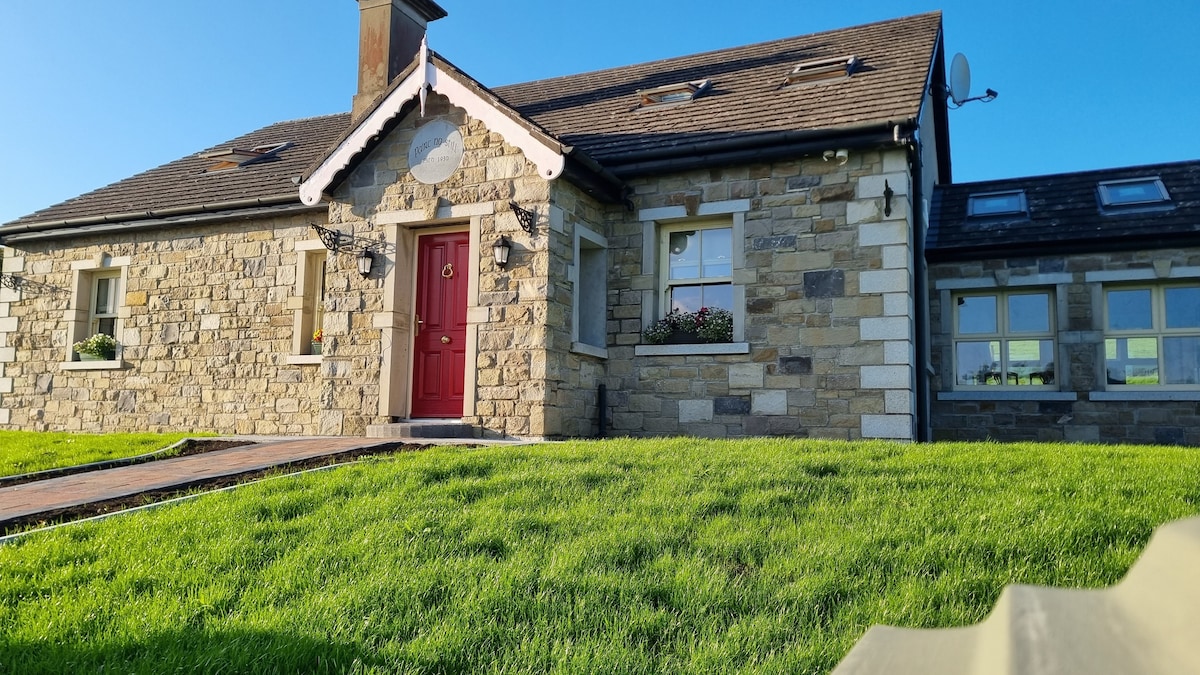 Enclosure in KilcashelEnclosure · 812 yd
 CashelFairy fort / stone ringfort · 955 yd
 Catholic Church of the Immaculate Conceptionchurch/chapel · 1397 yd
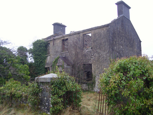 Kilmovee Garda Síochána Stationgarda station/constabulary barracks · 1.1 mi
 Crunaun Castle (in ruins)Castle, unclassified · 3.4 mi
 Casatle (ruins)Castle, unclassified · 4.0 mi
 Bockagh HillMountain / peak · 5.4 mi
 East Mayo Brigade MonumentMemorial · 6.6 mi
 Clonalis HouseMuseum · 10.0 mi
 Coolougher WoodForest · 10 mi
 Bawn IslandIslet · 11 mi
 Knock ShrineHeritage attraction · 11 mi